| Cape Espichel | |
|---|---|
 Cape Espichel as seen from the air, looking eastwards. | |
| Highest point | |
| Peak | Cape Espichel |
| Elevation | 134 m (440 ft) |
| Coordinates | 38°24′50.8″N 9°13′20.8″W / 38.414111°N 9.222444°W |
| Naming | |
| Native name | Cabo Espichel (Portuguese) |
| Geography | |
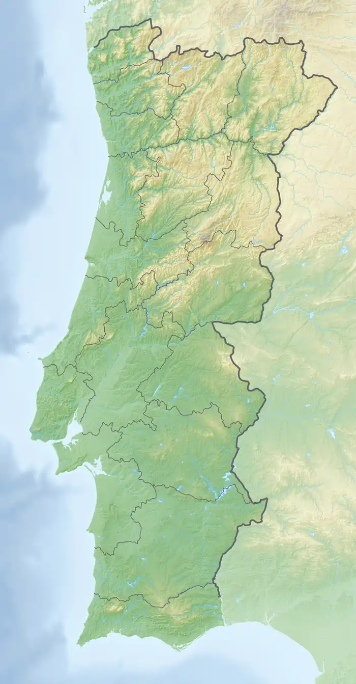 Cape Espichel Location of Cape Espichel in continental Portugal | |
| Location | Castelo, Sesimbra, Portugal |
Cape Espichel is a cape situated on the western coast of the civil parish of Castelo, municipality of Sesimbra, in the Portuguese district of Setúbal, at the very southwestern corner of the Setubal Peninsula. It is characterized by a very acute protrusion of the coastline into the Atlantic Ocean, and it consists of a promontory plateau, over 130 meters above sea level, defined by dramatic, sheer cliffs all around the delimitation of the cape against the ocean.
The location offers elevated sweeping views, from the Sintra Mountains and the Caparica coast to the north, and to the southeast the beaches south of Tróia and beyond to Sines.
The Cape Espichel area is part of the Arrábida Natural Park.[1]
Natural history
Geology

Regional setting
Cape Espichel is located within the Lusitanian Basin, a regional geologic feature formed during the opening of the North Atlantic, a process which began in the Triassic and continues still today.[2]
Tectonics and geomorphology
As the incipient North Atlantic Ocean began to spread, Portugal was then located on the eastern margin of the seawater-flooded rift valley. The extensional tectonic setting formed large normal faults during this process, including the Arrabida Fault, whose fault plane dips steeply towards the north, and whose trace is nowadays underwater, just south of the cape, tracing approximately from west to the east, including south of the Arrábida chain.
During the Cenozoic, due to how, given enough tectonic plate displacement, the geometry of an extending tectonic plate at one location on a spherical globe must eventually converge and force compression someplace else (due to the lack of further free surface area on the globe to allow for indefinite motion), and having occurred sufficient extensional tectonic motion, the local tectonic setting switched from extensional to compressional. As a result, the Arrábida Fault eventually reversed motion direction, becoming a reverse fault.
As the crust was regionally compressed from the north and south directions, the northern fault block rode up the fault plane, folding the rock strata upwards in the process, and forming a partial fault-bend fold, whose top continuously eroded. As a result, a geomorphological scarp of dramatic maritime cliffs formed. The folding mechanism produced the steep northwards dip observable in the strata at the Espichel location, and the dramatic dip progressively levels towards horizontality northwards from the cape end and away from the Arrábida Fault's plane trace.
Stratigraphy
The geology at Cape Espichel is of utmost stratigraphic relevance.[3] The cliff faces cut through, and are constituted of, limestone, clayey limestone, marl and sandstone strata of Late Jurassic and Early Cretaceous age, which were deposited in different types of coastal environments.[3] In excellent geologic succession, progressing upwards in time from the cape end northwards, the dipping strata are displayed along the western cliff faces as a natural cross-section,[3] especially impressive when seen from the sea.
Paleontology


Though the area is rich in various types of marine coral and mollusks fossils, as well as diverse ichnofossils, there are two outstanding dinosaur fossil trackway locations about one kilometer north of the cape, on the cliff walls that limit Lagosteiros Beach,[4][5] exposed in some of the now dipping rock strata:
- Pedra da Mua Natural Monument, on the south side cliffs of the beach, in strata of Late Jurassic age. Among other types of behavior, it portrays the passage of a herd of seven small sauropod dinosaurs, the first evidence site discovered in Europe for such behavior among those animals.[4]
- Lagosteiros Natural Monument, on the north side cliffs of the beach, of Early Cretaceous age, displays the first known Early Cretacious dinosaur trackways found in Portugal.[5]
Ecosystem
The landscape at Cape Espichel is typical Portuguese Mediterranean shrubland. Some species, such as Juniperus turbinata and kermes oak mostly favor sheltered areas, normally at the bottom of the ephemeral creek valleys that furrow the plateau, where they benefit from greater soil thickness, greater water retention capacity and greater richness in soil nutrients.[6]
In interfluves or exposed slopes, the areas most exposed to the prevailing winds and with incipient soils (high surface stoniness, low effective thickness, poverty of nutrients and low water retention capacity), a low bush forest of Thymus zygis ssp. sylvestris and endemic Ulex densus dominates the landscape, but with a ground cover inferior to that found in the bush areas in the sheltered valleys described earlier.[6]
On the coastal cliffs or steep slopes, influenced by saltwater spray and wind, with soils impoverished by leaching a low vegetation assemblage with weak ground cover dominates, consisting mainly of Limonium species and rock samphire, and occupying small depressions among and within fissures in the limestone outcrops.[6]
Human history
Prehistory
Paleolithic
Archaeological evidence indicates that the Espichel area was inhabited by hunter-gatherer groups as early as the Paleolithic period.[7] The discovery of stone tools and other artifacts in various archaeological sites in the area provides evidence of human occupation dating back further than ten thousand years.[7]
Neolithic
Due to its topography, Cape Espichel may have been used as a division between the realms of the living and the dead.[7][7] Dating from the 6th/5th millennium, some traces of funerary practices were found.[7] Several symbolic funerary artefacts have been found in the caves facing the sea, located on the south slope.[7] Ceramic and osteological remains attest to this spiritual universe, and at Cape Espichel there are several locations with such materials from this period.[7]
Chalcolithic
From the Chalcolithic onwards, human tribes began looking for elevated locations which provided natural defenses; there are vestiges encountered in the area of Outeiro Redondo and Zambujal, that indicate this preoccupation and conflicts.[8] During the Iron Age, there are documented references to the lands of Risco, farther to the east of Cape Espichel, that was a largest undefended settlement at the time.[8]
History
Roman Empire
During the times when Roman settlements persisted in the Iberian peninsula, the Roman presence on the cape was limited.[8] This could be because the Romans considered capes to be sacred locations, where the gods met at night.[8]
Avienius in Ora maritima named Cape Espichel, Cabo Cêmpsico, probably because the name was associated with the peoples that lived in the vicinity. Later, the geographer Strabo called this area Promontorium Barbaricum.[8]
Umayyad Caliphate
Though the Umayyad Caliphate extended over the territory of Espichel, there has never been found any archeological evidence of Muslim settlements.[8] The local toponymy, however, includes a few names with Arabic roots, such as Azóia, the nearest village to the cape, which derived from Al Zawiya (meaning hermitage).[8]
Middle Ages
During the Middle Ages, various legends attracted people to the site; it was a crucible of Portuguese nationalism, when on 29 July 1180, on the waters of Cape Espichel, D. Fuas Roupinho was able to obtain the nation's first naval victory against the caliphate.[8]
The Lady of the Cape tale


There are various legends associated with the worshipping of the Holy Virgin, locally known as Our Lady ("Nossa Senhora" in Portuguese), many contradictory. It is possible that the cult of Our Lady resulted from the Christianization of prehistoric cults that persisted into Moorish occupation.[8] The cult though, is certainly medieval, dating from the 13th century, with the first references appearing in the 14th century (specifically in 1366) from a royal letter sent by King D. Pedro I.[8]
Local superstition interpreted the Pedra da Mua dinosaur trackways into legend as being the path taken by Our Lady when riding a mule from the ocean and up the cliffs, appearing at the top before two pilgrims who had travelled to the location from afar, after having a vision of Our Lady in a dream. The erection of a modest shrine, the Shrine of Memory (Ermida da Memória in Portuguese), at the very cliff edge atop the Pedra da Mua location marks the mythical event.[9] Eventually, nearby the original shrine, a church (Igreja de Nossa Senhora do Cabo) and pilgrim accommodation buildings (Casa dos Círios) were constructed as well. This edification complex is now designated as the Sanctuary of Our Lady of Cape Espichel and is often wrongly mentioned as being a convent.
Other significant events

In 1672, the small Fort of Our Lady of the Cape began being built at the edge of the cliff, to the west of the original religious shrine.[10] In 1796, it was reported that half of the fort fell down to the sea due to the collapse of the cliff's edge, and in 1802 it seems the remainder of the fort structure was demolished.[10] Today, one can still see the implantation remains of the fort on location, also visible in aerial photographs.

In 1790 the Cape Espichel Lighthouse was built about six hundred meters south of the sanctuary. It consists of a hexagonal tower in three levels, built with thick masonry walls.[11][12]
References
Notes
- ↑ "www.monumentos.gov.pt: Serra da Arrábida-Espichel".
- ↑ J. Oliveira et al. (2010), p.2
- 1 2 3 "Cabo Espichel".
- 1 2 "www.monumentos.gov.pt: Monumento Natural da Pedra da Mua".
- 1 2 "www.monumentos.gov.pt: Monumento Natural dos Lagosteiros".
- 1 2 3 Neto, Carlos Silva (1993). "Finisterra: Nota sobre a flora e a vegetação do Cabo Espichel". Finisterra. 28 (55/56). doi:10.18055/Finis1869.
- 1 2 3 4 5 6 7 "Guião Educativo da Exposição "Um olhar sobre a Pré-história do Espichel"" (PDF).
- 1 2 3 4 5 6 7 8 9 10 Mário Nuno Antas and Sofia Ferreira (2011), p.9
- ↑ "Gigantický oslík z Portugalska". 28 February 2017.
- 1 2 Rodrigues, Henrique (January 2012). "Forte de Nossa Senhora do Cabo".
- ↑ "Farol do Cabo Espichel". Farois de Portugal. Archived from the original on 11 August 2017. Retrieved 27 December 2018.
- ↑ Matias, Cecilia. "Farol do Cabo Espichel". SIPA:Sistema de Informação para o Património Arquitetónico. Retrieved 28 December 2018.
Sources
- Oliveira, J.; Paiva Silva, C.; Pimental, N. (2010), "Atlas of Mesozoic units, from the Espichel to the Carvoeiro Capes (Western Portugal)", E-Terra: Revista Electrónica de Ciências da Terra = e Terra: Geosciences On-Line Journal (in Portuguese), e-Terra Online/GEOTIC – Sociedade Geológica de Portugal VIII Congresso Nacional de Geologia, 21 (3), ISSN 1645-0388
- Antas, Mário Nuno; Ferreira, Sofia (1 October 2011), Guião Educativo da exposição "Um olhar sobre a Pré-História do Espichel" (PDF) (in Portuguese), Lisbon, Portugal: Cubes de Arquelogia/Museu de Arqueologia