| Tatun Volcanic Group | |
|---|---|
 Chihsingshan, the highest peak of the Tatun volcanoes, has a height of 1120 m. | |
| Highest point | |
| Coordinates | 25°10′17″N 121°33′18″E / 25.17139°N 121.55500°E |
| Naming | |
| Native name | 大屯火山群 (Chinese) |
| Geography | |
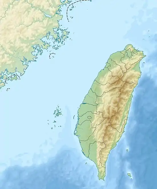 Tatun Volcanic Group Taiwan | |
The Tatun Volcanic Group (Chinese: 大屯火山群; pinyin: Dàtún Huǒshān Qún) constitutes a group of volcanoes located in northern Taiwan. It is located 15 km[1] north of Taipei, and lies to the west of Keelung. It just adjoins the northern coast of the Taiwan island. The volcanic group was a result of episodic volcanism between 2.8 and 0.2 Ma.[2] As of 2005, some geothermal activity was occurring and gas fumaroles were active among these volcanoes.[2] Observations of the Tatun Volcanic Group suggest that magma chambers probably still exist under the land surface of northern Taiwan.[3]
History
The north of the island is where evidence of volcanic activity is most obvious. In the early 20th century, the North Range of hills, also called Daitonzan from Japanese or Twa-tun from Hokkien, was recognized as having an abundance of sulfur deposits.[4] There were three craters in the North Range between Tamsui and Kimpauli (approx. modern-day Jinshan). The North hill crater, over 210 metres (700 ft) in diameter and about 120 metres (400 ft) deep, was the most extensive and was sometimes filled with water.[5]
Volcanic edifices
Volcanic edifices (i.e., andesitic lava domes[6]) of the Tatun Volcanic Group include:[7][8]
See also
References
- ↑ Lin, C. H.; K. I. Konstantinou; W. T. Liang; H. C. Pu; Y. M. Lin; S. H. You; Y. P. Huang (2005). "Preliminary analysis of volcanoseismic signals recorded at the Tatun Volcano Group, northern Taiwan". Geophysical Research Letters. 32 (10): L10313. Bibcode:2005GeoRL..3210313L. doi:10.1029/2005GL022861. Retrieved 2008-07-21.
- 1 2 Kim, Kwang-Hee; Chien-Hsin Chang; Kuo-Fong Ma; Jer-Ming Chiu; Kou-Cheng Chen (2005). "Modern Seismic Observations in the Tatun Volcano Region of Northern Taiwan: Seismic/Volcanic Hazard Adjacent to the Taipei Metropolitan Area". Terrestrial, Atmospheric and Oceanic Sciences. 16 (3): 579–594. doi:10.3319/TAO.2005.16.3.579(T). Retrieved 2008-07-21.
- ↑ "大屯火山群潛在岩漿庫及微震觀測網長期監測計畫". Construction and Planning Agency, Ministry of the Interior. Retrieved 2008-07-21.
- ↑ Davidson, James W. (1903). The Island of Formosa, Past and Present. London and New York: Macmillan. p. 495. OCLC 1887893. OL 6931635M.
- ↑ Davidson 1903, p. xxiii.
- ↑ "Tatun Volcanic Group". Global Volcanism Program, Smithsonian Institution. 2023-10-11. Retrieved 2023-11-27.
- ↑ Chan, Hai-Po; Chang, Chung-Pai (2018). "Exploring and monitoring geothermal and volcanic activity using Satellite Thermal Infrared data in TVG, Taiwan". Terrestrial, Atmospheric and Oceanic Sciences. Springer. 29 (4): 387–404. doi:10.3319/tao.2018.01.22.01. ISSN 1017-0839.
- ↑ "The Active Volcano in Taiwan: Tatun". Geology Hub. Retrieved 2023-11-27.
- 1 2 3 "2022.09.09 陽明山:十八彎古道-巴拉卡山-烘爐山-烘爐嘴一圈-菜公坑古道-炭窯遺址-菜公坑瀑布-菜公坑山O形". wayfarer.idv.tw (in Chinese). 2022-09-09. Retrieved 2023-11-27.
| Mountain ranges |
|  |
|---|---|---|
| Plateaus and hill lands | ||
| Plains | ||
| Basins | ||
| Volcano groups | ||
* The place names listed above are mainly romanized as Wade–Giles that used in most of academic articles. | ||