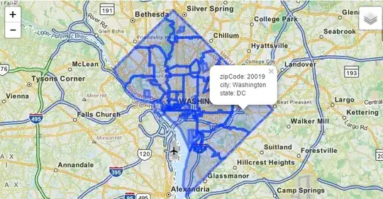
I have recently noticed the nice dashes that Google Places puts around cities, regions, states etc. I've been hunting around in the Google Maps API and the Google Places API trying to find out how to access the information thus displayed, without success.
I've discovered that Twitter has a nice API for this and I would be tempted to use that instead of Google's, but I worry that the lines that Google draw and the lines that Twitter draw may not correspond.
Is it safe to assume that both companies are using the same data? If not, where do I find the appropriate API information for the Google implementation?
Alternatively, where do I find the geodata they're both using?
PLEASE NOTE I'm asking about this in the context of Australian geodata. Do Google and Twitter use the same or different resources?
