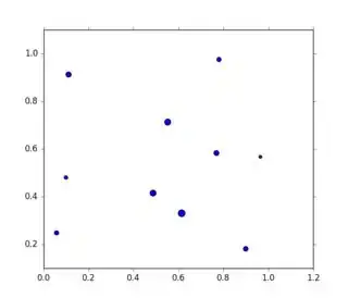
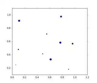
I am doing some plotting using cartopy and matplotlib, and I am producing a few images using the same set of points with a different domain size shown in each image. As my domain size gets bigger, the size of each plotted point remains fixed, so eventually as I zoom out, things get scrunched up, overlapped, and generally messy. I want to change the size of the points, and I know that I could do so by plotting them again, but I am wondering if there is a way to change their size without going through that process another time.
this is the line that I am using to plot the points:
plt.scatter(longs, lats, color = str(platformColors[platform]), zorder = 2, s = 8, marker = 'o')
and this is the line that I am using to change the domain size:
ax.set_extent([lon-offset, lon+offset, lat-offset, lat+offset])
Any advice would be greatly appreciated!

