I wanted to develop tracking iOS Application , but - I wanted to load openstreetmap by using MapKit framework as Apple map doesn't provide detailed accuracy . - There are so many third party libraries/frameworks i.e. Mapbox,whirlyGlobeMaply, etc. but I dont wanted to use that. as all have pricing plans for commercial level. Also I found that Google Maps also require Pricing at commercial level. - so I have searched for many ways & I found one in following link http://www.glimsoft.com/01/31/how-to-use-openstreetmap-on-ios-7-in-7-lines-of-code/ but it shows multiple tiles - for above code i used url i.e. - "http://tile.openstreetmap.org/10/547/380.png" [which is sample map]. this gives result as follows
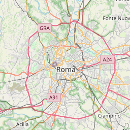
Screenshot for openstreetMap tile loading
- so how to load world map tile ?? is it possible to get x,y,z co-ordinates for that??
- or should I use offline openstreetMap ?? I have no idea how it works .
- either it is possible or not to load OpenstreetMap by using Mapkit Framework?? or I am searching for wrong way .
- or should I go for any paid version of third party library for Mapping functionality ???
----- Please give me suggestions, any help will be appriciable. Thanks...