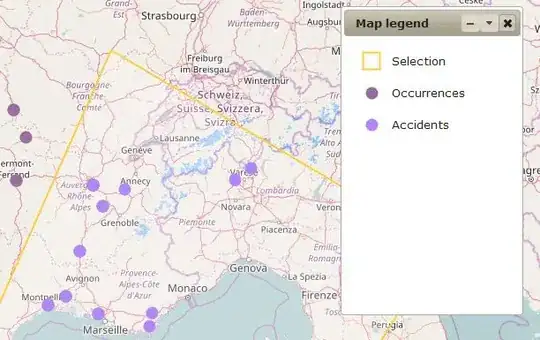
I've created an OpenLayers.Style that colours my polygons, a style that sizes my points and all that jazz, now I want to explain to the user what those styles represent.
I can't see anything in OpenLayers that allows me to draw my own legend using those styles. Everything seems to point me towards the assumed map server that is sending me data, which I don't have.
At the moment it looks like I'll have to draw some sample points/areas and screen grab them to make my own legend. Is there a better way to do it based straight off the Style so I don't have to regenerate the images when the Style gets changed?
Update I've had a good answer that relies on GeoExt (and thus ExtJS), I'd still like to hear if anyone has a jQuery compatible answer. Especially if it is plain Javascript and OpenLayers.
