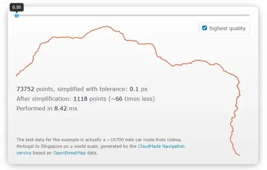
I extracted country outline data from somewhere and successfully managed to convert it into an array of lat-lng coordinates that I can feed to Google maps API to draw polyline or polygons.
The problem is that that there are about 1200+ points in that shape. It renders perfectly in Google maps but I need to reduce the number of points from 1200 to less than 100. I don't need a very smooth outline, i just need to throw away the points that I can live without. Any algorithm or an online tool that can help me reduce the number of points is needed.
