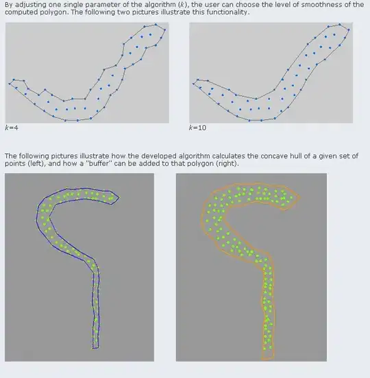
I have polygons that define the contour of counties in the UK. These shapes are very detailed (10k to 20k points each), thus rendering the related computations (is point X in polygon P?) quite computationaly expensive.
Thus, I would like to "subsample" my polygons, to obtain a similar shape but with less points. What are the different techniques to do so?
The trivial one would be to take one every N points (thus subsampling by a factor N), but this feels too "crude". I would rather do some averaging of points, or something of that flavor. Any pointer?
