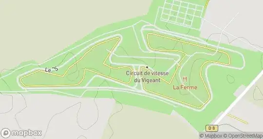
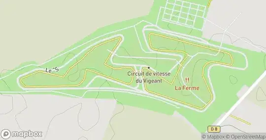
I'm using MapBox's static API in a project. I have managed to load maps with the same width and height in terms of latitude and longitude regardless of the resolution. This is so that users see the same area regardless of their screen resolution, for example. The problem is that on larger resolutions features and —especially, text appear much smaller, relatively. For example, these two maps look very similar, except for the size of text (and some other details, like the thickness of lines):


Is there a way to compensate for this and have the text on the larger image print larger, and have thicker lines? (in pixel terms). The result being that, say, two 6 inch screens print text in the same real-world size (centimeters) regardless of their pixel count.
I have looked into layers and filters, but it does not seem like there is a straightforward way of achieving this. It looks like maybe designing new maps would be the way to go, but I'm using the default ones and I would not know where to start.
THank you