I'm making a map in ggplot, and because I'm using the rnaturalearth package for the world basemap, the tick mark labels have N and W in them.

How do I remove the square box and the N or W symbols in the tick marks? The longitude values should be -0 to -70.
library(tidyverse)
library(rnaturalearth)
world <- ne_countries(scale = "medium", returnclass = "sf")
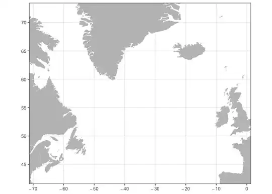
ggplot() +
# basemap
geom_sf(data = world, colour = NA, fill = "grey75") +
coord_sf(ylim = c(43, 72), xlim = c(-68, -2)) +
labs(x = "", y = "") +
theme_bw()