Caviahue Airport Aeródromo Caviahue | |||||||||||
|---|---|---|---|---|---|---|---|---|---|---|---|
| Summary | |||||||||||
| Airport type | Private - Restricted | ||||||||||
| Serves | Caviahue | ||||||||||
| Location | Argentina | ||||||||||
| Elevation AMSL | 5,446 ft / 1,660 m | ||||||||||
| Coordinates | 37°51′4.6″S 071°0′34.1″W / 37.851278°S 71.009472°W | ||||||||||
| Map | |||||||||||
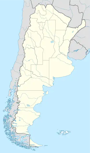
 LAD2303 Location of Caviahue Airstrip in Argentina | |||||||||||
| Runways | |||||||||||
| |||||||||||
Source: [1] | |||||||||||
Caviahue Airport (Spanish: Aeródromo Caviahue, ) is a private use airstrip located 6 kilometres (4 mi) east-northeast of Caviahue, Neuquén, Argentina. It was a public airport until the 1990s, when it was abandoned. Its IATA (CVH), ICAO (SAHE) and local (CAV) codes were dropped. The runway is now in poor condition and the airport is for private use only.
See also
References
- ↑ Google (2 September 2013). "location of Caviahue Airport" (Map). Google Maps. Google. Retrieved 2 September 2013.
External links
- Airport record for Caviahue Airport at Landings.com
This article is issued from Wikipedia. The text is licensed under Creative Commons - Attribution - Sharealike. Additional terms may apply for the media files.