Chicken 226 | |
|---|---|
| Chicken Indian Reserve No. 226 | |
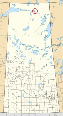 Location in Saskatchewan | |
| First Nation | Black Lake |
| Country | Canada |
| Province | Saskatchewan |
| Area | |
| • Total | 4,216.9 ha (10,420.2 acres) |
Chicken 226 is an Indian reserve of the Black Lake Denesuline First Nation in Saskatchewan.[1][2]
Etymology
The three Chicken reserves were named after a Chief Chicken, early leader of the Black Lake band.[3]
See also
References
- 1 2 "Reserve/Settlement/Village Detail". Crown–Indigenous Relations and Northern Affairs Canada. Government of Canada. Retrieved 12 August 2019.
- ↑ "Canada Lands Survey System - CLSS Map Browser". Natural Resources Canada. Retrieved 9 October 2019.
- ↑ Barry, Bill (September 2005). Geographic Names of Saskatchewan. Regina, Saskatchewan: People Places Publishing, Ltd. p. 82. ISBN 1-897010-19-2.

59°12′58″N 104°56′29″W / 59.2161°N 104.9414°W
This article is issued from Wikipedia. The text is licensed under Creative Commons - Attribution - Sharealike. Additional terms may apply for the media files.