Chilpancingo de los Bravo | |
|---|---|
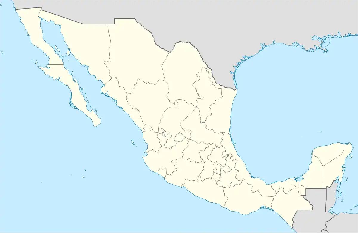 Chilpancingo de los Bravo Location in Mexico | |
| Coordinates: 17°11′N 99°29′W / 17.183°N 99.483°W | |
| Country | |
| State | Guerrero |
| Municipal seat | Chilpancingo |
| Government | |
| • Municipal President | Héctor Astudillo Flores(PRI) |
| Area | |
| • Total | 2,338.4 km2 (902.9 sq mi) |
| Population (2005) | |
| • Total | 214,219 |
Chilpancingo de los Bravo is one of the 81 municipalities of Guerrero, in south-western Mexico. The municipal seat is Chilpancingo de los Bravo.
Geography
The municipality is within the Sierra Madre del Sur mountain range. It covers an area of 2,338.4 square kilometres (902.9 sq mi).
As of 2005, the municipality had a total population of 214,219.[1]
Towns and villages
The municipality has 114 localities. The largest are as follows:
| Locality | Population |
|---|---|
| Total Municipio | 214,219 |
| Chilpancingo de los Bravo | 166,796 |
| Petaquillas | 7,627 |
| Ocotito | 6,212 |
| Mazatlán | 4,599 |
| Jaleaca de Catalán[lower-alpha 1] | 2,578 |
| Palo Blanco | 2,288 |
| Julián Blanco | 1,956 |
Administration
References
- ↑ Jaleaca became Jaleaca de Catalán by decree 15 of 3 June 1889 in honour of the brave offer of Antonia Nava de Catalán in offering to sacrifice herself during the Mexican War of Independence.[2]
- ↑ "Chilpancingo de los Bravo". Enciclopedia de los Municipios de México. Instituto Nacional para el Federalismo y el Desarrollo Municipal. Archived from the original on May 10, 2007. Retrieved December 23, 2008.
- ↑ Acuña Cepeda, Mirtea Elizabeth (19 November 2017), "Antonia Nava de Catalán, la Generala", Ecos de la Costa (in Spanish), archived from the original on 1 December 2017, retrieved 2017-11-28
This article is issued from Wikipedia. The text is licensed under Creative Commons - Attribution - Sharealike. Additional terms may apply for the media files.