Cigîrleni | |
|---|---|
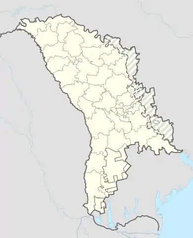 Cigîrleni Cigîrleni as shown within the map of Moldova | |
| Coordinates: 46°45′19″N 28°49′22″E / 46.7552°N 28.8227°E | |
| Country | Moldova |
| District | Ialoveni |
| Founded | 1569 |
| Elevation | 99 m (325 ft) |
| Population (2004)[1] | |
| • Total | 2,393 |
| Time zone | UTC+2 (EET) |
| • Summer (DST) | UTC+3 (EEST) |
| Postal code | MD-7715 |
| Prefix | 268 |
| ISO 3166 code | IL |
Cigîrleni is a village in Ialoveni District, Moldova.[2]
References
- ↑ Results of Population and Housing Census in the Republic of Moldova in 2014: "Characteristics - Population (population by communes, religion, citizenship)" (XLS). National Bureau of Statistics of the Republic of Moldova. 2017. Retrieved 2017-05-01.
- ↑ Clasificatorul unităților administrativ-teritoriale al Republicii Moldova (CUATM) (in Romanian)
This article is issued from Wikipedia. The text is licensed under Creative Commons - Attribution - Sharealike. Additional terms may apply for the media files.