Dangers | |
|---|---|
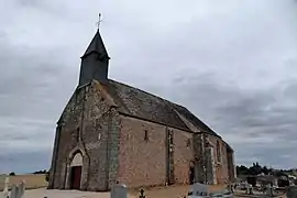 The church in Dangers | |
Location of Dangers | |
 Dangers 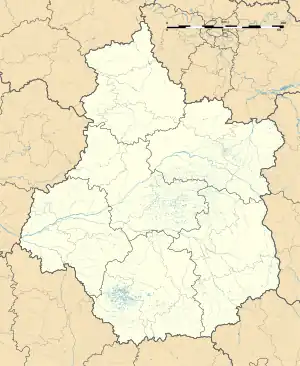 Dangers | |
| Coordinates: 48°30′34″N 1°21′04″E / 48.5094°N 1.3511°E | |
| Country | France |
| Region | Centre-Val de Loire |
| Department | Eure-et-Loir |
| Arrondissement | Chartres |
| Canton | Illiers-Combray |
| Intercommunality | CA Chartres Métropole |
| Government | |
| • Mayor (2020–2026) | André Bellamy[1] |
| Area 1 | 7.39 km2 (2.85 sq mi) |
| Population | 434 |
| • Density | 59/km2 (150/sq mi) |
| Time zone | UTC+01:00 (CET) |
| • Summer (DST) | UTC+02:00 (CEST) |
| INSEE/Postal code | 28128 /28190 |
| Elevation | 182–223 m (597–732 ft) (avg. 199 m or 653 ft) |
| 1 French Land Register data, which excludes lakes, ponds, glaciers > 1 km2 (0.386 sq mi or 247 acres) and river estuaries. | |
Dangers (French pronunciation: [dɑ̃ʒe] ⓘ) is a commune in the Eure-et-Loir department in northern France.
Population
| Year | Pop. | ±% |
|---|---|---|
| 1962 | 192 | — |
| 1968 | 209 | +8.9% |
| 1975 | 266 | +27.3% |
| 1982 | 315 | +18.4% |
| 1990 | 328 | +4.1% |
| 1999 | 382 | +16.5% |
| 2008 | 412 | +7.9% |
See also
References
- ↑ "Répertoire national des élus: les maires". data.gouv.fr, Plateforme ouverte des données publiques françaises (in French). 9 August 2021.
- ↑ "Populations légales 2021". The National Institute of Statistics and Economic Studies. 28 December 2023.
Wikimedia Commons has media related to Dangers (Eure-et-Loir).
This article is issued from Wikipedia. The text is licensed under Creative Commons - Attribution - Sharealike. Additional terms may apply for the media files.