Deštná | |
|---|---|
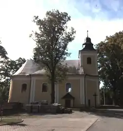 Church of Saints Peter and Paul | |
.svg.png.webp) Flag .svg.png.webp) Coat of arms | |
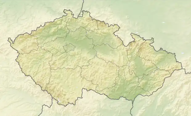 Deštná Location in the Czech Republic | |
| Coordinates: 49°36′45″N 16°33′49″E / 49.61250°N 16.56361°E | |
| Country | |
| Region | South Moravian |
| District | Blansko |
| First mentioned | 1317 |
| Area | |
| • Total | 3.29 km2 (1.27 sq mi) |
| Elevation | 442 m (1,450 ft) |
| Population (2023-01-01)[1] | |
| • Total | 214 |
| • Density | 65/km2 (170/sq mi) |
| Time zone | UTC+1 (CET) |
| • Summer (DST) | UTC+2 (CEST) |
| Postal code | 679 61 |
| Website | www |
Deštná is a municipality and village in Blansko District in the South Moravian Region of the Czech Republic. It has about 200 inhabitants.
Deštná lies approximately 29 kilometres (18 mi) north of Blansko, 47 km (29 mi) north of Brno, and 162 km (101 mi) east of Prague.
Administrative parts
The village of Rumberk is an administrative part of Deštná.
References
Wikimedia Commons has media related to Deštná (Blansko District).
This article is issued from Wikipedia. The text is licensed under Creative Commons - Attribution - Sharealike. Additional terms may apply for the media files.