| Drake River | |
|---|---|
Route of the Drake River | |
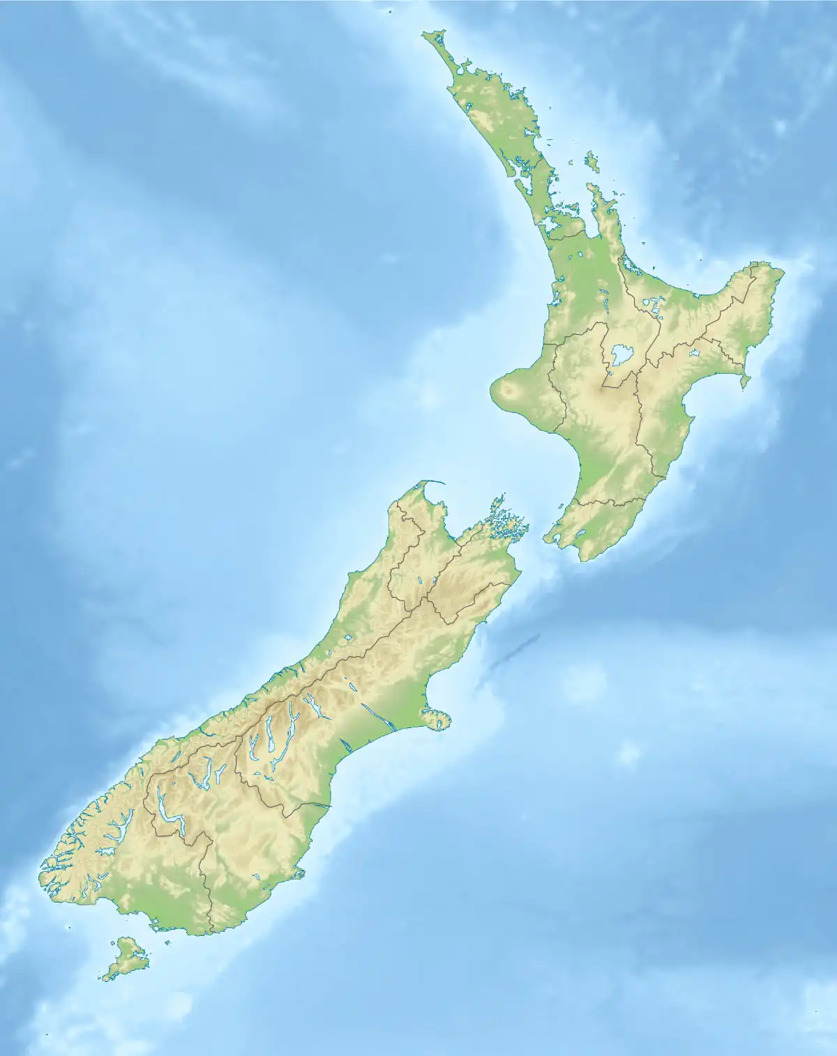 Mouth of the Drake River  Drake River (South Island) | |
| Etymology | Named after Charlie Douglas, an explorer of the region |
| Location | |
| Country | New Zealand |
| region | West Coast Region |
| District | Westland District |
| Protected area | Mount Aspiring National Park |
| Physical characteristics | |
| Source | Drake Range |
| • location | Southern Alps / Kā Tiritiri o te Moana |
| • coordinates | 44°13′2″S 168°53′38″E / 44.21722°S 168.89389°E |
| • elevation | 1,900 m (6,200 ft) |
| Mouth | Waiatoto River |
• location | Drake Flats |
• coordinates | 44°11′0″S 168°46′56″E / 44.18333°S 168.78222°E |
• elevation | 105 m (344 ft) |
| Length | 13.7 kilometres (8.5 mi) |
| Basin features | |
| Progression | Drake River → Waiatoto River → Jackson Bay / Okahu |
| River system | Waiatoto River |
The Drake River is a river of New Zealand. It is located in southern Westland, and flows entirely within the Mount Aspiring National Park.[1] The river follows a southerly course for seven kilometres before turning northeast to flow another five kilometres before reaching the Waiatoto River.[2]
The tributaries of the river were probably surveyed and named by Mueller in 1885.[3]
There is potential for a 30 MW power-generating plant at the junction of the Drake and Waiatoto Rivers.[4]
See also
References
- ↑ "Place name detail: Clearwater River". New Zealand Gazetteer. New Zealand Geographic Board. Retrieved 8 November 2023.
- ↑ Peter Dowling, ed. (2004). Reed New Zealand Atlas. Reed Books. Map 78. ISBN 0-7900-0952-8.
- ↑ Club, New Zealand Alpine (1951). "New Zealand alpine journal". New Zealand Alpine Journal. 14: 6.
- ↑ "Renewable Energy Assessment" (PDF). West Coast Regional Council. 4 August 2008. p. 65. Archived from the original (PDF) on 14 October 2008. Retrieved 13 August 2009.
This article is issued from Wikipedia. The text is licensed under Creative Commons - Attribution - Sharealike. Additional terms may apply for the media files.