Esperantina | |
|---|---|
Municipality | |
 Flag  Seal | |
| Nickname: Boa Esperança (Good Hope) | |
| Motto: Terra que amamos | |
 | |
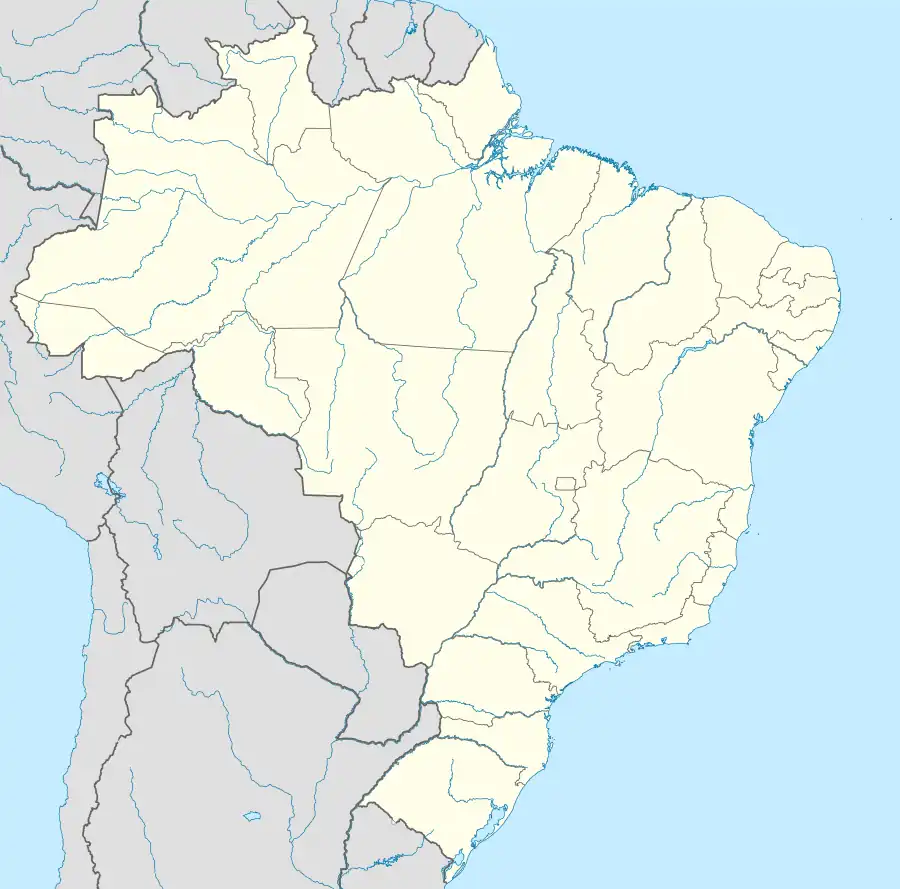 Esperantina Location in Brazil | |
| Coordinates: 03°54′07″S 42°14′02″W / 3.90194°S 42.23389°W | |
| Country | |
| Region | Nordeste |
| State | Piauí |
| Mesoregion | Norte Piauiense |
| Founded | July 25, 1920 |
| Government | |
| • Mayor | Vilma Carvalho Amorim (PT) |
| Area | |
| • Total | 911.213 km2 (351.821 sq mi) |
| Elevation | 59 m (193.68 ft) |
| Population (2020 [1]) | |
| • Total | 39,848 |
| • Density | 41.44/km2 (107.3/sq mi) |
| Time zone | UTC−3 (BRT) |
| Demonym | esperantinense |
Esperantina is a municipality in the state of Piauí in the Northeast region of Brazil.[2][3][4][5]
The town is the home of International Female Orgasm Day which was established in 2007 by José Arimatéia Dantas Lacerda. The holiday is celebrated each August 8.[6][7]
See also
References
- ↑ IBGE 2020
- ↑ "Divisão Territorial do Brasil" (in Portuguese). Divisão Territorial do Brasil e Limites Territoriais, Instituto Brasileiro de Geografia e Estatística (IBGE). July 1, 2008. Retrieved December 17, 2009.
- ↑ "Estimativas da população para 1º de julho de 2009" (PDF) (in Portuguese). Estimativas de População, Instituto Brasileiro de Geografia e Estatística (IBGE). August 14, 2009. Retrieved December 17, 2009.
- ↑ "Ranking decrescente do IDH-M dos municípios do Brasil" (in Portuguese). Atlas do Desenvolvimento Humano, Programa das Nações Unidas para o Desenvolvimento (PNUD). 2000. Archived from the original on October 3, 2009. Retrieved December 17, 2009.
- ↑ "Produto Interno Bruto dos Municípios 2002-2005" (PDF) (in Portuguese). Instituto Brasileiro de Geografia e Estatística (IBGE). December 19, 2007. Archived from the original (PDF) on October 2, 2008. Retrieved December 17, 2009.
- ↑ International Day Of The Female Orgasm Brings Pleasure To Brazilian Women International Business Times, 2012-08-08.
- ↑ What You Should Know About International Female Orgasm Day Cosmopolitan, 2012-08-09.

3°54′07″S 42°14′02″W / 3.90194°S 42.23389°W
This article is issued from Wikipedia. The text is licensed under Creative Commons - Attribution - Sharealike. Additional terms may apply for the media files.