Fagge | |
|---|---|
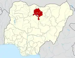
 Fagge Location in Nigeria | |
| Coordinates: 12°00′24″N 8°31′45″E / 12.0067°N 8.5292°E | |
| Country | |
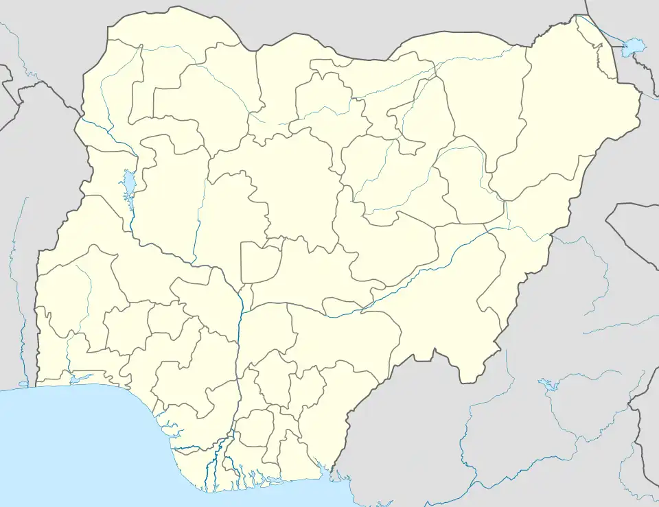
| State | Kano State |
| Government | |
| • Local Government Chairman and the Head of the Local Government Council | Hon. Ibrahim Muhammad Abdullah |
| Area | |
| • Total | 21 km2 (8 sq mi) |
| Population (2006 census) | |
| • Total | 198,828 |
| Time zone | UTC+1 (WAT) |
| 3-digit postal code prefix | 700 |
| ISO 3166 code | NG.KN.FA |
Fagge is a Local Government Area in Kano State, Nigeria, within the state metropolitan . Its headquarters are in the suburb of Waje.
It has an area of 21 km2 and a population of 198,828 at the 2006 census.
The postal code of the area is 700.[1]
Climate
The dry season in Kano is partly cloudy and hot all year round, whereas the wet season is muggy and cloudy. It rarely falls below 48°F or rises beyond 106°F throughout the year, with the average temperature fluctuating between 53°F and 102°F.[2]
Temperature
Temperatures are rising due to climate change, and in places like Fagge, colder weather is occurring more frequently.[3]
References
- ↑ "Post Offices- with map of LGA". NIPOST. Archived from the original on 2009-10-07. Retrieved 2009-10-20.
- ↑ "Kano Climate, Weather By Month, Average Temperature (Nigeria) - Weather Spark". weatherspark.com. Retrieved 2023-07-08.
- ↑ "Climate Change Fagge". meteoblue. Retrieved 2023-10-21.
State capital: Kano | ||
| Local government areas |
|  |
This article is issued from Wikipedia. The text is licensed under Creative Commons - Attribution - Sharealike. Additional terms may apply for the media files.