Gehlenbeck | |
|---|---|
Location of Gehlenbeck within Lübbecke  | |
 Gehlenbeck 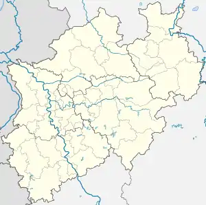 Gehlenbeck | |
| Coordinates: 52°18′37″N 8°38′54″E / 52.31028°N 8.64833°E | |
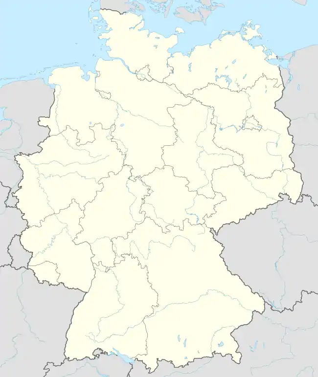
| Country | Germany |
| State | North Rhine-Westphalia |
| District | Minden-Lübbecke |
| Town | Lübbecke |
| Area | |
| • Total | 11.13 km2 (4.30 sq mi) |
| Highest elevation | 288 m (945 ft) |
| Lowest elevation | 50 m (160 ft) |
| Population (2020)[1] | |
| • Total | 3,284 |
| • Density | 300/km2 (760/sq mi) |
| Time zone | UTC+01:00 (CET) |
| • Summer (DST) | UTC+02:00 (CEST) |
| Postal codes | 32312 |
| Dialling codes | 05741 |
Gehlenbeck is a village in the East Westphalian borough of Lübbecke in the county of Minden-Lübbecke in North Germany. The former clustered village (Haufendorf) is the second most populous village today in the borough. A stream flows through the village, the Gehle Beke (High German: gelber Bach; English: "Yellow Brook"), that once gave its name to the village. The village's parish has an area of around 11 km2. With 297 inhabitants per km2 Gehlenbeck is rather less densely settled than the borough of Lübbecke (398 people/km2).
References
- ↑ "Zahlen und Daten". Stadt Lübbecke. Retrieved 24 September 2021.
Literature
- Werner Fabis: Gehlenbeck - Ein Dorf im Spiegel der Geschichte. Herausgeber: Heimatverein Gehlenbeck e. V.
External links
Villages in the borough of Lübbecke | ||
|---|---|---|
| ||
This article is issued from Wikipedia. The text is licensed under Creative Commons - Attribution - Sharealike. Additional terms may apply for the media files.