Goshen Municipal Airport | |||||||||||||||
|---|---|---|---|---|---|---|---|---|---|---|---|---|---|---|---|
 | |||||||||||||||
| Summary | |||||||||||||||
| Airport type | Public | ||||||||||||||
| Owner | Goshen BOAC | ||||||||||||||
| Serves | Goshen, Indiana | ||||||||||||||
| Elevation AMSL | 827 ft / 252 m | ||||||||||||||
| Coordinates | 41°31′35″N 085°47′39″W / 41.52639°N 85.79417°W | ||||||||||||||
| Map | |||||||||||||||
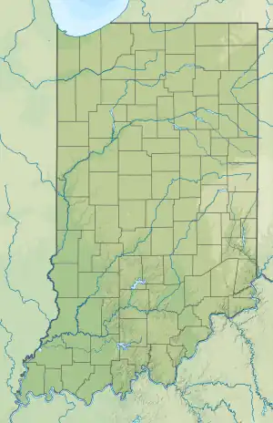 GSH  GSH | |||||||||||||||
| Runways | |||||||||||||||
| |||||||||||||||
| Statistics (2010) | |||||||||||||||
| |||||||||||||||
Goshen Municipal Airport (IATA: GSH[2], ICAO: KGSH, FAA LID: GSH) is a public-use civil airport three miles southeast of Goshen, in Elkhart County, Indiana. It is owned by the Goshen Board of Aviation Commissioners.[1] The National Plan of Integrated Airport Systems for 2011–2015 categorized it as a general aviation facility.[3]
The airport is host to America's Freedom Fest, which advertises itself as among the country's biggest single-day airshows.[4]
Facilities
The airport covers 439 acres (178 ha) at an elevation of 827 feet (252 m). It has two runways: 9/27 is 6,050 by 100 feet (1,844 x 30 m) asphalt and 5/23 is 2,497 by 180 feet (761 x 55 m) turf.[1]
For the 12-month period ending December 21, 2019, the airport averaged 59 aircraft movements per day, or roughly 21,535 per year. The operations are 97% general aviation and 3% air taxi.
See also
References
- 1 2 3 FAA Airport Form 5010 for GSH PDF. Federal Aviation Administration. Effective May 31, 2012.
- ↑ "Airline and Airport Code Search". International Air Transport Association (IATA). Retrieved November 17, 2012.
- ↑ "2011–2015 NPIAS Report, Appendix A" (PDF). National Plan of Integrated Airport Systems. Federal Aviation Administration. October 4, 2010. Archived from the original (PDF, 2.03 MB) on October 27, 2012.
- ↑ "America's Freedom Fest to return to Goshen".
External links
 Media related to Goshen Municipal Airport at Wikimedia Commons
- Aerial image from Indiana DOT
- Aerial image as of March 1999 from USGS The National Map
- FAA Terminal Procedures for GSH, effective December 28, 2023
- Resources for this airport:
- FAA airport information for GSH
- AirNav airport information for KGSH
- ASN accident history for GSH
- FlightAware airport information and live flight tracker
- NOAA/NWS weather observations: current, past three days
- SkyVector aeronautical chart, Terminal Procedures