Hankensbüttel | |
|---|---|
 Coat of arms | |
Location of Hankensbüttel within Gifhorn district  | |
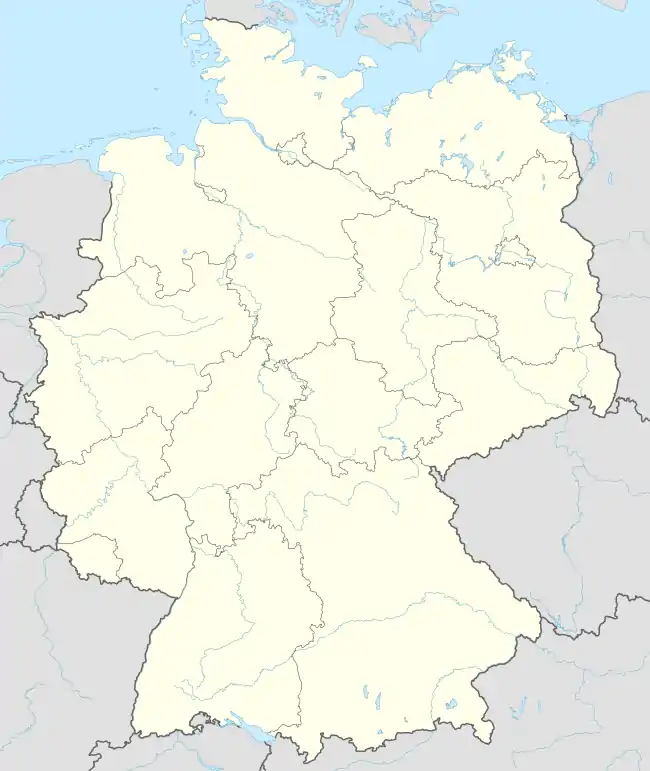 Hankensbüttel 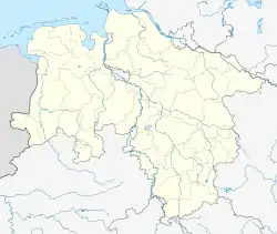 Hankensbüttel | |
| Coordinates: 52°44′N 10°36′E / 52.733°N 10.600°E | |
| Country | Germany |
| State | Lower Saxony |
| District | Gifhorn |
| Municipal assoc. | Hankensbüttel |
| Government | |
| • Mayor | Dirk Köllner (CDU) |
| Area | |
| • Total | 34.82 km2 (13.44 sq mi) |
| Elevation | 82 m (269 ft) |
| Population (2021-12-31)[1] | |
| • Total | 4,539 |
| • Density | 130/km2 (340/sq mi) |
| Time zone | UTC+01:00 (CET) |
| • Summer (DST) | UTC+02:00 (CEST) |
| Postal codes | 29386 |
| Dialling codes | 05832 |
| Vehicle registration | GF |
Hankensbüttel is a municipality in the Samtgemeinde Hankensbüttel in the district of Gifhorn, Lower Saxony, Germany. It is situated approximately 25 km south of Uelzen, and 30 km north of Gifhorn. The Municipality Hankensbüttel includes the villages of Alt Isenhagen, Emmen and Hankensbüttel,
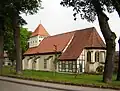 Lutheran church
_IMG_9176.jpg.webp) Old monastery
Old monastery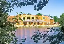 Main building of the Otter Centre
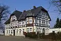 Inn
Inn
History
The first documentary mentioning of Hankensbüttel was in the year 1051 by the name Honengesbuthele. The document is from Henry III. In this time the Saxon dynasty of Billung owned the region
Politics
Administration
Hankensbüttel is also the seat of the Samtgemeinde Hankensbüttel ("collective municipality"), which consists of the following municipalities:
- Dedelstorf
- Hankensbüttel
- Obernholz
- Sprakensehl
- Steinhorst
Community council
The Community council consists of 15 community members and was elected on 10 September 2006:
- CDU - 7 Seats
- SPD - 2 Seats
- Green Party - 2 Seats
- FDP - 2 Seats
- Independent - 2 Seats
Wikimedia Commons has media related to Gifhorn/Hankensbüttel.
References
This article is issued from Wikipedia. The text is licensed under Creative Commons - Attribution - Sharealike. Additional terms may apply for the media files.