Heřmánkovice | |
|---|---|
.jpg.webp) Church of All Saints | |
 Flag  Coat of arms | |
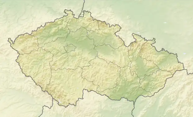 Heřmánkovice Location in the Czech Republic | |
| Coordinates: 50°37′12″N 16°19′26″E / 50.62000°N 16.32389°E | |
| Country | |
| Region | Hradec Králové |
| District | Náchod |
| First mentioned | 1353 |
| Area | |
| • Total | 19.93 km2 (7.70 sq mi) |
| Elevation | 447 m (1,467 ft) |
| Population (2023-01-01)[1] | |
| • Total | 469 |
| • Density | 24/km2 (61/sq mi) |
| Time zone | UTC+1 (CET) |
| • Summer (DST) | UTC+2 (CEST) |
| Postal codes | 549 84, 550 01 |
| Website | www |
Heřmánkovice (German: Hermsdorf) is a municipality and village in Náchod District in the Hradec Králové Region of the Czech Republic. It has about 500 inhabitants. It is located on the border with Poland.
Administrative parts
The village of Janovičky is an administrative part of Heřmánkovice.
Sights
The main landmark of Heřmánkovice is the Church of All Saints. It was built in the Baroque style in 1720–1726 by Kilian Ignaz Dientzenhofer, according to the design by his father Christoph Dientzenhofer. For its value it has been protected as a national cultural monument since 2022.[2]
References
- ↑ "Population of Municipalities – 1 January 2023". Czech Statistical Office. 2023-05-23.
- ↑ "Kostel Všech svatých" (in Czech). National Heritage Institute. Retrieved 2023-07-21.
Wikimedia Commons has media related to Heřmánkovice.
This article is issued from Wikipedia. The text is licensed under Creative Commons - Attribution - Sharealike. Additional terms may apply for the media files.