Horní Radslavice | |
|---|---|
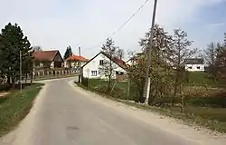 Main street | |
 Flag  Coat of arms | |
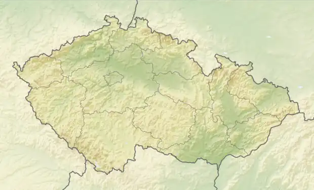 Horní Radslavice Location in the Czech Republic | |
| Coordinates: 49°20′18″N 15°54′8″E / 49.33833°N 15.90222°E | |
| Country | |
| Region | Vysočina |
| District | Žďár nad Sázavou |
| First mentioned | 1377 |
| Area | |
| • Total | 4.67 km2 (1.80 sq mi) |
| Elevation | 514 m (1,686 ft) |
| Population (2023-01-01)[1] | |
| • Total | 93 |
| • Density | 20/km2 (52/sq mi) |
| Time zone | UTC+1 (CET) |
| • Summer (DST) | UTC+2 (CEST) |
| Postal code | 594 01 |
| Website | www |
Horní Radslavice is a municipality and village in Žďár nad Sázavou District in the Vysočina Region of the Czech Republic. It has about 90 inhabitants.
Horní Radslavice lies approximately 26 kilometres (16 mi) south of Žďár nad Sázavou, 23 km (14 mi) east of Jihlava, and 135 km (84 mi) south-east of Prague.
Gallery
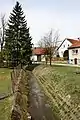 Local brook
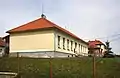 Municipal office
References
Wikimedia Commons has media related to Horní Radslavice.
This article is issued from Wikipedia. The text is licensed under Creative Commons - Attribution - Sharealike. Additional terms may apply for the media files.