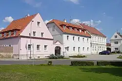
Hrušovany | |
|---|---|
 Common in Hrušovany | |
 Flag  Coat of arms | |
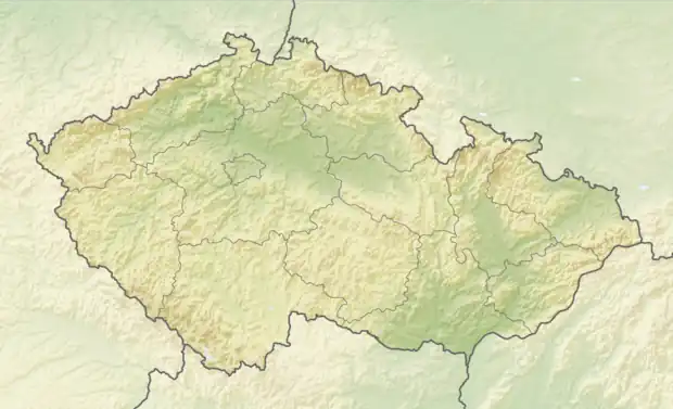 Hrušovany Location in the Czech Republic | |
| Coordinates: 50°23′14″N 13°29′54″E / 50.38722°N 13.49833°E | |
| Country | |
| Region | Ústí nad Labem |
| District | Chomutov |
| First mentioned | 1209 |
| Area | |
| • Total | 12.57 km2 (4.85 sq mi) |
| Elevation | 300 m (1,000 ft) |
| Population (2023-01-01)[1] | |
| • Total | 539 |
| • Density | 43/km2 (110/sq mi) |
| Time zone | UTC+1 (CET) |
| • Summer (DST) | UTC+2 (CEST) |
| Postal codes | 431 43 |
| Website | www |
Hrušovany is a municipality and village in Chomutov District in the Ústí nad Labem Region of the Czech Republic. It has about 500 inhabitants.
Hrušovany lies approximately 12 kilometres (7 mi) south-east of Chomutov, 49 km (30 mi) south-west of Ústí nad Labem, and 74 km (46 mi) north-west of Prague.
Administrative parts
Villages of Lažany and Vysočany are administrative parts of Hrušovany.
References
Wikimedia Commons has media related to Hrušovany (Chomutov District).
This article is issued from Wikipedia. The text is licensed under Creative Commons - Attribution - Sharealike. Additional terms may apply for the media files.