Kangti | |
|---|---|
city | |
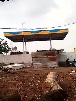 Bharat Petrol Pump Kangti | |
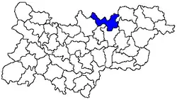 Kangti Mandal in blue colour | |
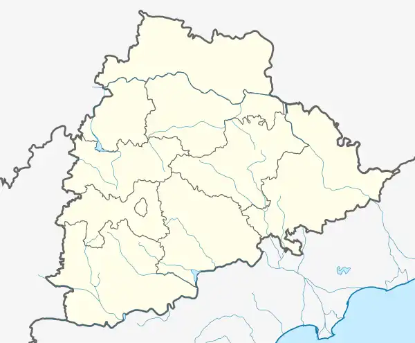 Kangti Location in Telangana, India 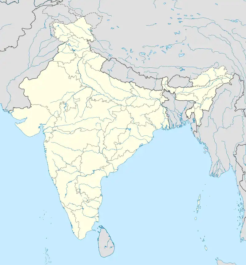 Kangti Kangti (India) | |
| Coordinates: 18°13′00″N 77°38′00″E / 18.2167°N 77.6333°E | |
| Country | |
| State | Telangana |
| District | Sangareddy district |
| Founded by | Government of Andhra Pradesh |
| Government | |
| • Type | |
| • Body |
|
| Area | |
| • city | 10 km2 (4 sq mi) |
| Elevation | 493 m (1,617 ft) |
| Population (2019) | |
| • city | 5,048 |
| • Density | 500/km2 (1,300/sq mi) |
| • Metro | 6,500 |
| Demonym | kangtikar |
| Languages | |
| • Official | Telugu |
| Time zone | UTC+5:30 (IST) |
| PIN CODE | 502286 |
| Vehicle registration | TS-23 |
| Vidhan Sabha constituency | Narayankhed (Assembly constituency) |
| Website | telangana |
Kangti is a Town and Mandal headquarters of Kangti Mandal in the Sangareddy district in Indian state of Telangana.[1]
Geography
Kangti is located at Latitude:18°13'23.13"N Longitude: 77°36'56.98"E.[2] It has an average elevation of 493 metres (1620 ft).
Demographics
According to the 2001 Indian census, the demographic details of Kangti mandal are as follows:[3]
- Total population: 44,769 in 7,594 households.
- Male population: 22,899 and female population: 21,870
- Children under 6-years of age: 8,168 (boys - 4,084; girls - 4,084)
- Total literates: 13,683
The Kangti village had a population of 3,614 in 2001.[4]
References
- ↑ "District Level Mandal wise list of villages in Medak district" (PDF). Chief Commissioner of Land Administration. National Informatics Centre. Archived from the original (PDF) on 2 April 2015. Retrieved 5 March 2016.
- ↑ Kangti at Fallingrain.com
- ↑ Kangti mandal demographics at Our Village India.org
- ↑ Kangti village demographics at Our Village India.org
External Links
| Topics | |
|---|---|
| Dynasties | |
| Districts |
|
| Commissionerates | |
| Major cities | |
| Tourism |
|
| Municipal corporations | |
| Related lists | |
This article is issued from Wikipedia. The text is licensed under Creative Commons - Attribution - Sharealike. Additional terms may apply for the media files.