Kargyam | |
|---|---|
Village cluster | |
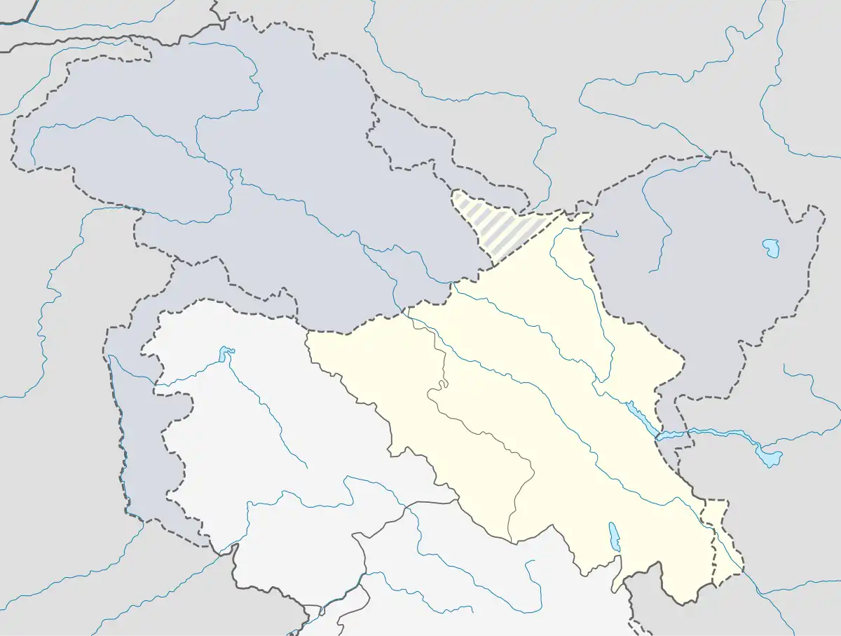 Kargyam Location of Kargyam Sato in Ladakh, India 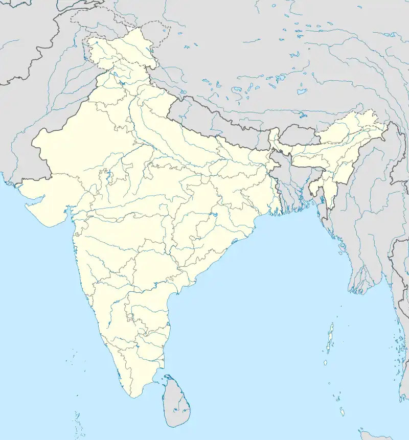 Kargyam Kargyam (India) | |
| Coordinates: 33°52′23″N 78°17′28″E / 33.8731°N 78.2910°E | |
| Country | India |
| Union Territory | Ladakh |
| District | Leh |
| Tehsil | Durbuk[1] |
| Population (2011) | |
| • Total | 564 |
| Time zone | UTC+5:30 (IST) |
| Census code | 907 |
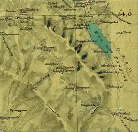
Kargyam is a village in Leh district of the Indian union territory of Ladakh.[2] It is located in the Durbuk tehsil (subdistrict), in the Long Parma valley between Tangtse and Chushul. Kargyam is famous for its wetlands and Blackneck crane and nomadic lifestyle.
Demographics
According to the 2011 census of India, Kargyam has 106 households. The effective literacy rate (i.e. the literacy rate of population excluding children aged 6 and below) is 59.12%.[3]
| Total | Male | Female | |
|---|---|---|---|
| Population | 564 | 279 | 285 |
| Children aged below 6 years | 87 | 42 | 45 |
| Scheduled caste | 0 | 0 | 0 |
| Scheduled tribe | 468 | 232 | 236 |
| Literates | 282 | 169 | 113 |
| Workers (all) | 294 | 142 | 152 |
| Main workers (total) | 213 | 121 | 92 |
| Main workers: Cultivators | 30 | 15 | 15 |
| Main workers: Agricultural labourers | 11 | 6 | 5 |
| Main workers: Household industry workers | 1 | 0 | 1 |
| Main workers: Other | 171 | 100 | 71 |
| Marginal workers (total) | 81 | 21 | 60 |
| Marginal workers: Cultivators | 2 | 0 | 2 |
| Marginal workers: Agricultural labourers | 0 | 0 | 0 |
| Marginal workers: Household industry workers | 0 | 0 | 0 |
| Marginal workers: Others | 79 | 21 | 58 |
| Non-workers | 270 | 137 | 133 |
References
- ↑ "Villages | District Leh, Union Territory of Ladakh | India".
- ↑ "Blockwise Village Amenity Directory" (PDF). Ladakh Autonomous Hill Development Council 2014–15. Archived from the original (PDF) on 3 April 2018.
- 1 2 "Leh district census". 2011 Census of India. Directorate of Census Operations. Retrieved 23 July 2015.
| State symbols | |||||||||||||||||||
|---|---|---|---|---|---|---|---|---|---|---|---|---|---|---|---|---|---|---|---|
| History |
| ||||||||||||||||||
| Administration | |||||||||||||||||||
| Geography |
| ||||||||||||||||||
| Human settlements | |||||||||||||||||||
| Culture |
| ||||||||||||||||||
| Tourism and wildlife |
| ||||||||||||||||||
| Transport |
| ||||||||||||||||||
| Infrastructure |
| ||||||||||||||||||
| See also |
| ||||||||||||||||||
This article is issued from Wikipedia. The text is licensed under Creative Commons - Attribution - Sharealike. Additional terms may apply for the media files.