Kipumbwi
| |
|---|---|
| Kata ya Kipumbwi, Wilaya ya Pangani | |
 Kipumbwi | |
| Coordinates: 5°37′0.12″S 38°53′3.12″E / 5.6167000°S 38.8842000°E | |
| Country | |
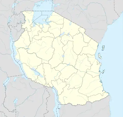
| Region | Tanga Region |
| District | Pangani District |
| Area | |
| • Total | 235 km2 (91 sq mi) |
| Elevation | 23 m (75 ft) |
| Population (2012) | |
| • Total | 5,333 |
| • Density | 23/km2 (59/sq mi) |
| Ethnic groups | |
| • Settler | Swahili & Maasai |
| • Ancestral | Zigua |
| Tanzanian Postal Code | 21311 |
Kipumbwi is an administrative ward in Pangani District of Tanga Region in Tanzania. The ward covers an area of 235 km2 (91 sq mi),[1] and has an average elevation of 23 m (75 ft).[2] According to the 2012 census, the ward has a total population of 5,333.[3] Kipumbwi is named after a Medieval Swahili city state on the coast of Kipumbwi ward.[4]
See also
References
- ↑ "Tanzania: Northern Tanzania(Districts and Wards) - Population Statistics, Charts and Map".
- ↑ "Kipumbwi elevation".
- ↑ "2012 Population and Housing Census General Report" (PDF). Government of Tanzania. Retrieved 31 December 2021.
- ↑ James de Vere Allen. "Swahili Culture and the Nature of East Coast Settlement." The International Journal of African Historical Studies, vol. 14, no. 2, Boston University African Studies Center, 1981, pp. 306–34, https://doi.org/10.2307/218047
This article is issued from Wikipedia. The text is licensed under Creative Commons - Attribution - Sharealike. Additional terms may apply for the media files.