Lagoa da Confusão | |
|---|---|
Municipality | |
| The Municipality of Lagoa da Confusão | |
 Flag | |
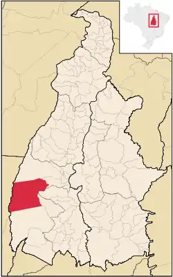 Location of Lagoa da Confusão in the State of Tocantins | |
| Coordinates: 10°47′38″S 49°37′26″W / 10.79389°S 49.62389°W | |
| Country | |
| Region | North |
| State | |
| Government | |
| • Mayor | Jaime Café de Sá |
| Area | |
| • Total | 10,564.512 km2 (4,078.981 sq mi) |
| Elevation | 200 m (700 ft) |
| Population (2020 [1]) | |
| • Total | 13,676 |
| • Density | 0.9/km2 (2/sq mi) |
| Time zone | UTC−3 (BRT) |
| HDI (2000) | 0.670 – medium[2] |
Lagoa da Confusão is the westernmost city in the state of Tocantins.
References
- ↑ "IBGE 2020". Retrieved 26 January 2021.
- ↑ Archived 2009-10-03 at the Wayback Machine - UNDP
This article is issued from Wikipedia. The text is licensed under Creative Commons - Attribution - Sharealike. Additional terms may apply for the media files.