Le Champ-Saint-Père | |
|---|---|
 The Champ-Saint-Père railway station | |
.svg.png.webp) Coat of arms | |
Location of Le Champ-Saint-Père | |
 Le Champ-Saint-Père 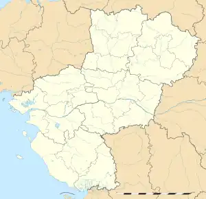 Le Champ-Saint-Père | |
| Coordinates: 46°30′33″N 1°20′43″W / 46.5092°N 1.3453°W | |
| Country | France |
| Region | Pays de la Loire |
| Department | Vendée |
| Arrondissement | Les Sables-d'Olonne |
| Canton | Mareuil-sur-Lay-Dissais |
| Intercommunality | Vendée Grand Littoral |
| Government | |
| • Mayor (2020–2026) | Jean Ferrand[1] |
| Area 1 | 24.67 km2 (9.53 sq mi) |
| Population | 1,947 |
| • Density | 79/km2 (200/sq mi) |
| Time zone | UTC+01:00 (CET) |
| • Summer (DST) | UTC+02:00 (CEST) |
| INSEE/Postal code | 85050 /85540 |
| Elevation | 1–75 m (3.3–246.1 ft) |
| 1 French Land Register data, which excludes lakes, ponds, glaciers > 1 km2 (0.386 sq mi or 247 acres) and river estuaries. | |
Le Champ-Saint-Père (French pronunciation: [lə ʃɑ̃ sɛ̃ pɛʁ]) is a commune in the Vendée department in the Pays de la Loire region in western France.
Geography
The river Yon forms all of the commune's north-eastern border, then flows into the Lay, which forms all of its eastern border.
See also
References
- ↑ "Répertoire national des élus: les maires" (in French). data.gouv.fr, Plateforme ouverte des données publiques françaises. 13 September 2022.
- ↑ "Populations légales 2021". The National Institute of Statistics and Economic Studies. 28 December 2023.
Wikimedia Commons has media related to Le Champ-Saint-Père.
This article is issued from Wikipedia. The text is licensed under Creative Commons - Attribution - Sharealike. Additional terms may apply for the media files.