| Minwuntaung Wildlife Sanctuary | |
|---|---|
IUCN category IV (habitat/species management area) | |
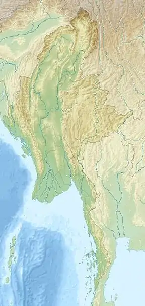 Location in Myanmar | |
| Location | Sagaing Township, Sagaing Region, |
| Nearest city | Sagaing |
| Coordinates | 22°03′00″N 95°57′00″E / 22.05000°N 95.95000°E |
| Area | 205.88 km2 (79.49 sq mi)[1] |
| Established | 1971 |
| Governing body | Myanmar Forest Department |
Minwuntaung Wildlife Sanctuary is a protected area in Myanmar, covering 205.88 km2 (79.49 sq mi). It was established in 1971.[1] It ranges in elevation from 75 to 305 m (246 to 1,001 ft) in Sagaing Township, Sagaing Region. It provides habitat for Indian hog deer (Hyelaphus porcinus) and Indian muntjac (Muntiacus muntjak).[2]
See also
References
- 1 2 World Database on Protected Areas (2019). "Minwuntaung Wildlife Sanctuary". Protected Planet.
- ↑ Beffasti, L.; Gallanti, V., eds. (2011). "Minwuntaung". Myanmar Protected Areas: Context, Current Status and Challenges (PDF). Milano, Yangon: Istituto Oikos, Biodiversity and Nature Conservation Association. p. 64.
External links
Zaw, M. (2018). "Min Won Taung Wildlife Sanctuary to make room for more buildings". The Myanmar Times.
| National parks |
|
|---|---|
| Wildlife Sanctuaries |
|
| Parks |
|
| Ramsar sites |
|
| |
This article is issued from Wikipedia. The text is licensed under Creative Commons - Attribution - Sharealike. Additional terms may apply for the media files.