Niablé | |
|---|---|
Town, sub-prefecture, and commune | |
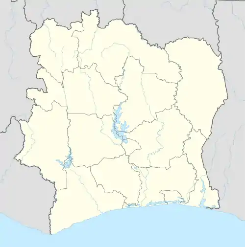 Niablé Location in Ivory Coast | |
| Coordinates: 6°40′N 3°16′W / 6.667°N 3.267°W | |
| Country | |
| District | Comoé |
| Region | Indénié-Djuablin |
| Department | Abengourou |
| Area | |
| • Total | 510 km2 (200 sq mi) |
| Population (2021)[1] | |
| • Total | 57,081 |
| • Density | 110/km2 (290/sq mi) |
| • Town | 15,754[2] |
| (2014 census) | |
| Time zone | UTC+0 (GMT) |
Niablé is a town in eastern Ivory Coast. It is a sub-prefecture and commune of Abengourou Department in Indénié-Djuablin Region, Comoé District. A few hundred metres southwest of the town is a border crossing with Ghana. In 2021, the population of the sub-prefecture of Niablé was 57,081.[1]
Villages
The tenth villages of the sub-prefecture of Niablé and their population in 2014 are:
- Niablé (15 754)
- Adjoumani-Kouassikro (991)
- Zouhounou (5 635)
- Abronamoue (5 274)
- Affalikro (6 615)
- Angouakro (1 043)
- Assekro (602)
- Brindoukro (2 270)
- Diangobo (5 091)
- Kouakou N'dramankro (1 692)
References
- 1 2 Citypopulation.de Population of the regions and sub-prefecture of Ivory Coast
- ↑ Citypopulation.de Population of cities & localities in Ivory Coast
Regional seat: Abengourou | ||
| Abengourou Department |  | |
| Agnibilékrou Department | ||
| Bettié Department | ||
* also a commune | ||
This article is issued from Wikipedia. The text is licensed under Creative Commons - Attribution - Sharealike. Additional terms may apply for the media files.