Oberleichtersbach | |
|---|---|
 Coat of arms | |
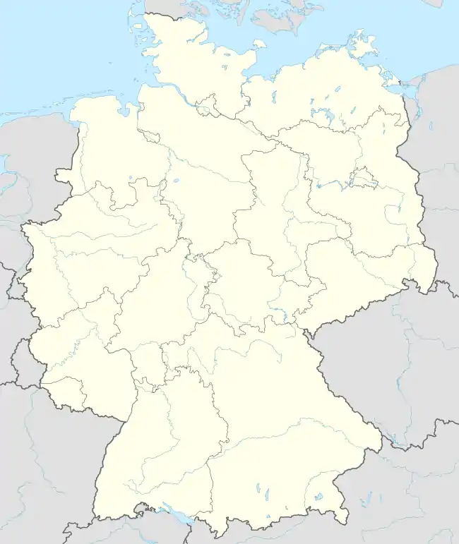
Location of Oberleichtersbach within Bad Kissingen district  | |
 Oberleichtersbach 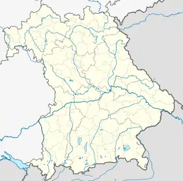 Oberleichtersbach | |
| Coordinates: 50°17′N 9°48′E / 50.283°N 9.800°E | |
| Country | Germany |
| State | Bavaria |
| Admin. region | Unterfranken |
| District | Bad Kissingen |
| Municipal assoc. | Bad Brückenau |
| Subdivisions | 5 Ortsteile |
| Government | |
| • Mayor (2020–26) | Dieter Muth[1] |
| Area | |
| • Total | 27.60 km2 (10.66 sq mi) |
| Elevation | 408 m (1,339 ft) |
| Population (2022-12-31)[2] | |
| • Total | 2,072 |
| • Density | 75/km2 (190/sq mi) |
| Time zone | UTC+01:00 (CET) |
| • Summer (DST) | UTC+02:00 (CEST) |
| Postal codes | 97789 |
| Dialling codes | 09741 |
| Vehicle registration | KG |
| Website | www |
Oberleichtersbach is a municipality in the district of Bad Kissingen in Bavaria in Germany.
Divisions of the municipality
The municipality includes the following towns:
- Oberleichtersbach
- Unterleichtersbach
- Modlos
- Breitenbach
- Mitgenfeld
History
In 1803 the Bishopric of Fulda, of which Oberleichtersbach was a part, was secularized and given to Willem Frederik, Prince of Orange-Nassau. In 1806, after his defeat at the Battle of Jena–Auerstedt, the Principality of Nassau-Orange-Fulda was absorbed into France and its vassal state Grand Duchy of Frankfurt. In the Congress of Vienna in 1815, it was given to Bavaria.
Population
| Year | Population |
| 1970 | 1653 |
| 1987 | 1787 |
| 2000 | 2046 |
| 2005 | 2114 |
Coat of arms
Quartered with 1 and 4 in silver with a cross; 2 and 3 divided diagonally gold and red.
Economy
In 1998, there were 428 businesses in the municipality. In 1999, there were 84 agricultural businesses, with 2091 ha under cultivation, 788 ha in fields, and 1296 ha in pasture.
References
- ↑ Liste der ersten Bürgermeister/Oberbürgermeister in kreisangehörigen Gemeinden, Bayerisches Landesamt für Statistik, 15 July 2021.
- ↑ Genesis Online-Datenbank des Bayerischen Landesamtes für Statistik Tabelle 12411-003r Fortschreibung des Bevölkerungsstandes: Gemeinden, Stichtag (Einwohnerzahlen auf Grundlage des Zensus 2011)
External links
Towns and municipalities in Bad Kissingen (district) | ||
|---|---|---|
Coat of Arms of Bad Kissingen district | ||