Pölla | |
|---|---|
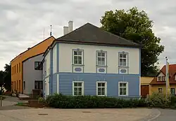 Town hall at Neupölla | |
 Coat of arms | |
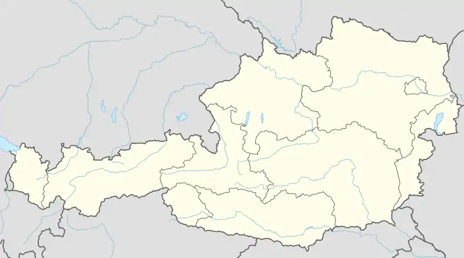 Pölla Location within Austria | |
| Coordinates: 48°38′00″N 15°27′00″E / 48.63333°N 15.45000°E | |
| Country | Austria |
| State | Lower Austria |
| District | Zwettl |
| Government | |
| • Mayor | Johann Müllner (ÖVP) |
| Area | |
| • Total | 104.35 km2 (40.29 sq mi) |
| Elevation | 475 m (1,558 ft) |
| Population (2018-01-01)[2] | |
| • Total | 939 |
| • Density | 9.0/km2 (23/sq mi) |
| Time zone | UTC+1 (CET) |
| • Summer (DST) | UTC+2 (CEST) |
| Postal code | 3593 |
| Area code | 02988 |
| Vehicle registration | ZT |
| Website | www.poella.gv.at |
Pölla is a municipality in the district of Zwettl in the Austrian state of Lower Austria.
Geography
It is situated roughly in the center of the northwestern region of the Austrian state called Waldviertel. About 46 per cent of the municipality is forested.
Subdivision
The municipality of Pölla consists of:
- Altpölla
- Döllersheim
- Felsenberg
- Franzen
- Kienberg
- Kleinenzersdorf
- Kleinraabs
- Krug
- Neupölla (municipal seat)
- Nondorf
- Ramsau
- Reichhalms
- Riegers
- Schmerbach am Kamp
- Thaures
- Waldreichs
- Wegscheid am Kamp
- Wetzlas
Population
| Year | Pop. | ±% |
|---|---|---|
| 1971 | 1,305 | — |
| 1981 | 1,211 | −7.2% |
| 1991 | 1,091 | −9.9% |
| 2001 | 1,056 | −3.2% |
References
- ↑ "Dauersiedlungsraum der Gemeinden Politischen Bezirke und Bundesländer - Gebietsstand 1.1.2018". Statistics Austria. Retrieved 10 March 2019.
- ↑ "Einwohnerzahl 1.1.2018 nach Gemeinden mit Status, Gebietsstand 1.1.2018". Statistics Austria. Retrieved 9 March 2019.
External links
![]() Media related to Pölla at Wikimedia Commons
Media related to Pölla at Wikimedia Commons
This article is issued from Wikipedia. The text is licensed under Creative Commons - Attribution - Sharealike. Additional terms may apply for the media files.