Podhradí nad Dyjí | |
|---|---|
 View from the Frejštejn Castle | |
 Coat of arms | |
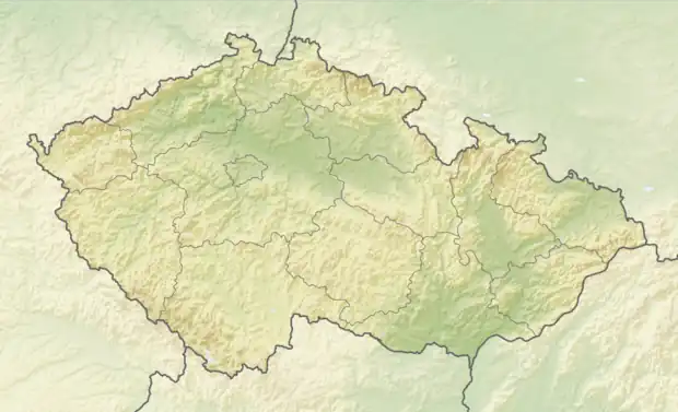 Podhradí nad Dyjí Location in the Czech Republic | |
| Coordinates: 48°54′1″N 15°41′11″E / 48.90028°N 15.68639°E | |
| Country | |
| Region | South Moravian |
| District | Znojmo |
| First mentioned | 1250 |
| Area | |
| • Total | 6.22 km2 (2.40 sq mi) |
| Elevation | 368 m (1,207 ft) |
| Population (2023-01-01)[1] | |
| • Total | 51 |
| • Density | 8.2/km2 (21/sq mi) |
| Time zone | UTC+1 (CET) |
| • Summer (DST) | UTC+2 (CEST) |
| Postal code | 671 06 |
| Website | www |
Podhradí nad Dyjí (until 1949 Frejštejn; German: Freistein) is a municipality and village in Znojmo District in the South Moravian Region of the Czech Republic. It has about 50 inhabitants.
Podhradí nad Dyjí lies approximately 27 kilometres (17 mi) west of Znojmo, 77 km (48 mi) south-west of Brno, and 161 km (100 mi) south-east of Prague.
References
Wikimedia Commons has media related to Podhradí nad Dyjí.
This article is issued from Wikipedia. The text is licensed under Creative Commons - Attribution - Sharealike. Additional terms may apply for the media files.