Pownal, Vermont | |
|---|---|
 Pownal  Pownal | |
| Coordinates: 42°45′56″N 73°14′18″W / 42.76556°N 73.23833°W | |
| Country | United States |
| State | Vermont |
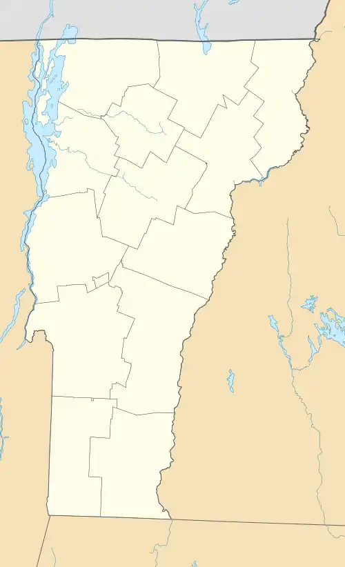
| County | Bennington |
| Town | Pownal |
| Area | |
| • Total | 0.52 sq mi (1.34 km2) |
| • Land | 0.51 sq mi (1.33 km2) |
| • Water | 0.008 sq mi (0.02 km2) |
| Elevation | 553 ft (169 m) |
| Time zone | UTC-5 (Eastern (EST)) |
| • Summer (DST) | UTC-4 (EDT) |
| ZIP Code | 05261 |
| Area code | 802 |
| FIPS code | 50-56950 |
| GNIS feature ID | 2807124[2] |
Pownal is an unincorporated community and census-designated place (CDP) in the town of Pownal, Bennington County, Vermont, United States. It was first listed as a CDP prior to the 2020 census.
It is in southwestern Bennington County, in the southwest part of the town of Pownal, 1.5 miles (2.4 km) north of the Vermont–Massachusetts border. The Hoosic River, a west-flowing tributary of the Hudson River, forms the western edge of the village. Vermont Route 346 passes through the center of the village, leading northwest 3 miles (5 km) to North Pownal. It has its southern terminus in the eastern part of Pownal village, at U.S. Route 7, which leads north 9 miles (14 km) to Bennington and south 5 miles (8 km) to Williamstown.
References
- ↑ "2020 U.S. Gazetteer Files – Vermont". United States Census Bureau. Retrieved October 4, 2021.
- ↑ "Pownal Census Designated Place". Geographic Names Information System. United States Geological Survey, United States Department of the Interior.
Municipalities and communities of Bennington County, Vermont, United States | ||
|---|---|---|
| Towns | 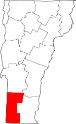 Map of Vermont highlighting Bennington County | |
| Villages | ||
| CDPs | ||
| Other communities | ||
| Footnotes | § Disincorporated ‡ This populated place also has portions in an adjacent county or counties | |
This article is issued from Wikipedia. The text is licensed under Creative Commons - Attribution - Sharealike. Additional terms may apply for the media files.