Rabštejnská Lhota | |
|---|---|
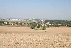 General view | |
 Flag  Coat of arms | |
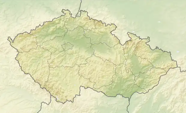 Rabštejnská Lhota Location in the Czech Republic | |
| Coordinates: 49°54′56″N 15°46′5″E / 49.91556°N 15.76806°E | |
| Country | |
| Region | Pardubice |
| District | Chrudim |
| First mentioned | 1414 |
| Area | |
| • Total | 7.11 km2 (2.75 sq mi) |
| Elevation | 306 m (1,004 ft) |
| Population (2023-01-01)[1] | |
| • Total | 854 |
| • Density | 120/km2 (310/sq mi) |
| Time zone | UTC+1 (CET) |
| • Summer (DST) | UTC+2 (CEST) |
| Postal codes | 537 01, 538 21 |
| Website | www |
Rabštejnská Lhota is a municipality and village in Chrudim District in the Pardubice Region of the Czech Republic. It has about 900 inhabitants.
Administrative parts
Villages of Rabštejn and Smrkový Týnec are administrative parts of Rabštejnská Lhota.
Sights
Ruins of Rabštejnek Castle lie next to Rabštejn.
References
External links
Wikimedia Commons has media related to Rabštejnská Lhota.
This article is issued from Wikipedia. The text is licensed under Creative Commons - Attribution - Sharealike. Additional terms may apply for the media files.