Rabastens-de-Bigorre | |
|---|---|
 The bell tower of the church of Saint-Louis and the hotel Le Richelieu | |
.svg.png.webp) Coat of arms | |
Location of Rabastens-de-Bigorre | |
 Rabastens-de-Bigorre 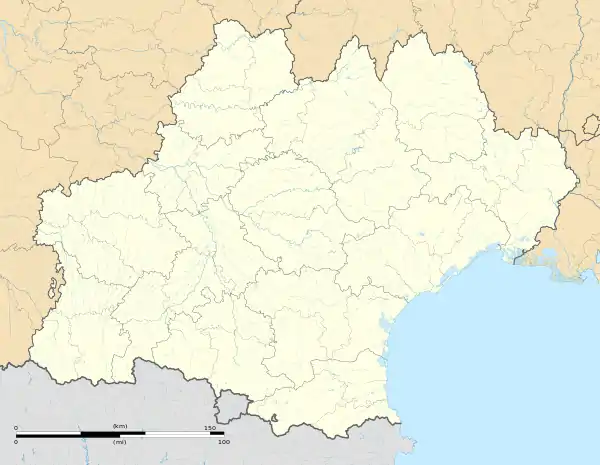 Rabastens-de-Bigorre | |
| Coordinates: 43°23′16″N 0°09′05″E / 43.3878°N 0.1514°E | |
| Country | France |
| Region | Occitania |
| Department | Hautes-Pyrénées |
| Arrondissement | Tarbes |
| Canton | Val d'Adour-Rustan-Madiranais |
| Intercommunality | Adour Madiran |
| Government | |
| • Mayor (2020–2026) | Véronique Thirault[1] |
| Area 1 | 8.93 km2 (3.45 sq mi) |
| Population | 1,445 |
| • Density | 160/km2 (420/sq mi) |
| Time zone | UTC+01:00 (CET) |
| • Summer (DST) | UTC+02:00 (CEST) |
| INSEE/Postal code | 65375 /65140 |
| Elevation | 191–280 m (627–919 ft) |
| 1 French Land Register data, which excludes lakes, ponds, glaciers > 1 km2 (0.386 sq mi or 247 acres) and river estuaries. | |
Rabastens-de-Bigorre (French pronunciation: [ʁabastɛ̃s də biɡɔʁ]; Occitan: Rabastens de Bigòrra) is a commune in the Hautes-Pyrénées department in south-western France.[3]
Population
| Year | Pop. | ±% p.a. |
|---|---|---|
| 1968 | 1,083 | — |
| 1975 | 1,082 | −0.01% |
| 1982 | 1,299 | +2.65% |
| 1990 | 1,284 | −0.15% |
| 1999 | 1,336 | +0.44% |
| 2007 | 1,406 | +0.64% |
| 2012 | 1,465 | +0.83% |
| 2017 | 1,453 | −0.16% |
| Source: INSEE[4] | ||
See also
References
- ↑ "Répertoire national des élus: les maires" (in French). data.gouv.fr, Plateforme ouverte des données publiques françaises. 13 September 2022.
- ↑ "Populations légales 2021". The National Institute of Statistics and Economic Studies. 28 December 2023.
- ↑ INSEE commune file
- ↑ Population en historique depuis 1968, INSEE
Wikimedia Commons has media related to Rabastens-de-Bigorre.
This article is issued from Wikipedia. The text is licensed under Creative Commons - Attribution - Sharealike. Additional terms may apply for the media files.