Ratauli | |
|---|---|
Village | |
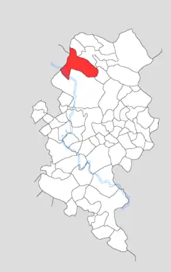 Map showing Ratauli in Kotla block | |
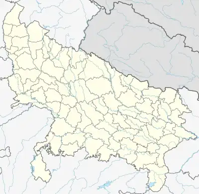 Ratauli Location in Uttar Pradesh, India | |
| Coordinates: 27°20′05″N 78°24′31″E / 27.33464°N 78.4087°E | |
| Country | India |
| State | Uttar Pradesh |
| District | Firozabad |
| Tehsil | Firozabad |
| Area | |
| • Total | 5.11 km2 (1.97 sq mi) |
| Population (2011)[1] | |
| • Total | 3,079 |
| • Density | 600/km2 (1,600/sq mi) |
| Time zone | UTC+5:30 (IST) |
Ratauli (Devanagari: रतौली Rataulī) is a village in Kotla block of Firozabad district, Uttar Pradesh. It is located near the source of a small stream called the Sengar. As of 2011, it has a population of 3,079, in 509 households.
Geogrpahy
Ratauli is located near the source of a small stream called the Sengar, which flows southeast parallel with the Sirsa river. Although the Sengar is small, it sometimes floods the low-lying plains around Ratauli during the rainy season.[2]: 9, 13
Demographics
As of 2011, Ratauli had a population of 3,079, in 509 households.[1]: 95 This population was 53.3% male (1,640) and 46.7% female (1,439). The 0-6 age group numbered 518 (265 male and 253 female), making up 16.8% of the total population. 1,294 residents were members of Scheduled Castes, or 42.0% of the total.[3]: 98–9
The 1981 census recorded Ratauli as having a population of 1,732 people (954 male and 778 female), in 291 households and 290 physical houses.[4]: 186–7
The 1961 census recorded Ratauli as comprising 4 hamlets, with a total population of 1,272 people (696 male and 576 female), in 262 households and 156 houses. The area of the village was given as 1,285 acres.[5]: xc
Infrastructure
As of 2011, Ratauli had 1 primary school; it did not have any healthcare facilities. Drinking water was provided by hand pump and tube well/borehole; there were no public toilets. The village did not have a post office or public library; there was at least some access to electricity for all purposes. Streets were made of both kachcha and pakka materials.[1]: 95–100
References
- 1 2 3 4 "Census of India 2011: Uttar Pradesh District Census Handbook - Firozabad, Part A (Village and Town Directory)" (PDF). Census of India. Retrieved 19 June 2023.
- ↑ Nevill, H. R., ed. (1905). Agra: A Gazetteer, Being Volume VIII of the District Gazetteers of the United Provinces of Agra and Oudh. Allahabad: Government Press. Retrieved 18 November 2023.
- ↑ "Census of India 2011: Uttar Pradesh District Census Handbook - Firozabad, Part B (Village and Town Wise Primary Census Abstract)" (PDF). Census of India. Retrieved 19 June 2023.
- ↑ Census 1981 Uttar Pradesh: District Census Handbook Part XIII-B: Village & Town Directory, District Agra (PDF). 1982. Retrieved 25 July 2023.
- ↑ Census 1961: District Census Handbook, Uttar Pradesh (22 - Agra District) (PDF). Lucknow. 1965. Retrieved 25 December 2021.
{{cite book}}: CS1 maint: location missing publisher (link)