Saint-Laurent-de-Muret | |
|---|---|
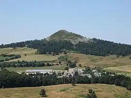 Saint-Laurent-de-Muret and the Pic de Mus | |
Location of Saint-Laurent-de-Muret | |
 Saint-Laurent-de-Muret 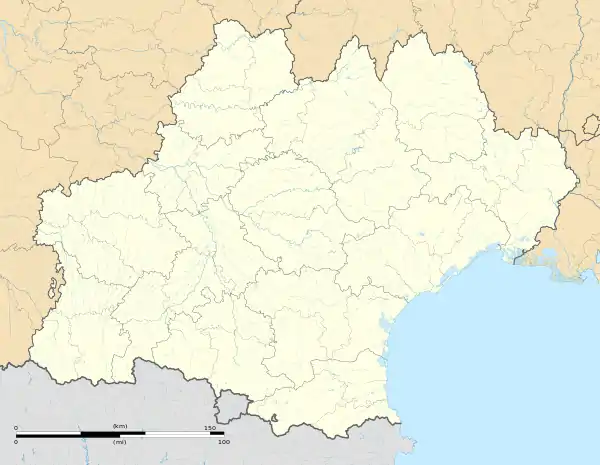 Saint-Laurent-de-Muret | |
| Coordinates: 44°36′11″N 3°12′27″E / 44.6031°N 3.20750°E | |
| Country | France |
| Region | Occitania |
| Department | Lozère |
| Arrondissement | Mende |
| Canton | Peyre en Aubrac |
| Intercommunality | Gévaudan |
| Government | |
| • Mayor (2020–2026) | Pierre Rey[1] |
| Area 1 | 46.04 km2 (17.78 sq mi) |
| Population | 190 |
| • Density | 4.1/km2 (11/sq mi) |
| Time zone | UTC+01:00 (CET) |
| • Summer (DST) | UTC+02:00 (CEST) |
| INSEE/Postal code | 48165 /48100 |
| Elevation | 976–1,381 m (3,202–4,531 ft) (avg. 1,120 m or 3,670 ft) |
| 1 French Land Register data, which excludes lakes, ponds, glaciers > 1 km2 (0.386 sq mi or 247 acres) and river estuaries. | |
Saint-Laurent-de-Muret (French pronunciation: [sɛ̃ loʁɑ̃ də myʁɛ]; Occitan: Sant Laurenç de Muret) is a commune in the Lozère department in southern France.[3] It is located on the east of the Aubrac region (Massif central).
See also
References
- ↑ "Répertoire national des élus: les maires" (in French). data.gouv.fr, Plateforme ouverte des données publiques françaises. 13 September 2022.
- ↑ "Populations légales 2021". The National Institute of Statistics and Economic Studies. 28 December 2023.
- ↑ INSEE commune file
Wikimedia Commons has media related to Saint-Laurent-de-Muret.
This article is issued from Wikipedia. The text is licensed under Creative Commons - Attribution - Sharealike. Additional terms may apply for the media files.