Saint-Pierre-Baptiste | |
|---|---|
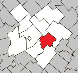 Location within L'Érable RCM. | |
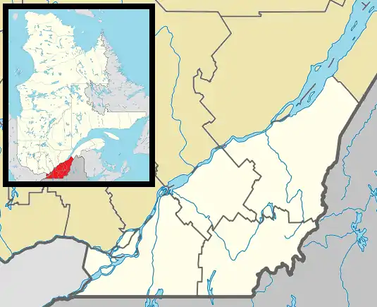 Saint-Pierre-Baptiste Location in southern Quebec. | |
| Coordinates: 46°12′N 71°37′W / 46.200°N 71.617°W[1] | |
| Country | |
| Province | |
| Region | Centre-du-Québec |
| RCM | L'Érable |
| Constituted | January 1, 1874 |
| Government | |
| • Mayor | Donald Lamontagne |
| • Federal riding | Mégantic—L'Érable |
| • Prov. riding | Lotbinière |
| Area | |
| • Total | 83.50 km2 (32.24 sq mi) |
| • Land | 81.77 km2 (31.57 sq mi) |
| Population (2021)[3] | |
| • Total | 560 |
| • Density | 6.8/km2 (18/sq mi) |
| • Pop 2016-2021 | |
| • Dwellings | 318 |
| Postal code(s) | |
| Area code(s) | 418 and 581 |
| Highways | |
| Website | www.saintpierre baptiste.qc.ca |
Saint-Pierre-Baptiste is a parish municipality in Quebec.
Demographics
In the 2021 Census of Population conducted by Statistics Canada, Saint-Pierre-Baptiste had a population of 560 living in 237 of its 318 total private dwellings, a change of 6.3% from its 2016 population of 527. With a land area of 81.77 km2 (31.57 sq mi), it had a population density of 6.8/km2 (17.7/sq mi) in 2021.[4]
References
- ↑ "Banque de noms de lieux du Québec: Reference number 57512". toponymie.gouv.qc.ca (in French). Commission de toponymie du Québec.
- 1 2 "Répertoire des municipalités: Geographic code 32050". www.mamh.gouv.qc.ca (in French). Ministère des Affaires municipales et de l'Habitation.
- 1 2 "Census Profile, 2021 Census - Saint-Pierre-Baptiste, Paroisse, Quebec". 8 February 2017.
- ↑ "Population and dwelling counts: Canada, provinces and territories, and census subdivisions (municipalities), Quebec". Statistics Canada. February 9, 2022. Retrieved August 29, 2022.
Places adjacent to Saint-Pierre-Baptiste | ||||||||||||||||
|---|---|---|---|---|---|---|---|---|---|---|---|---|---|---|---|---|
| ||||||||||||||||
| Cities | |
|---|---|
| Municipalities | |
| Parishes | |
| |
This article is issued from Wikipedia. The text is licensed under Creative Commons - Attribution - Sharealike. Additional terms may apply for the media files.