Sainte-Cécile-de-Whitton | |
|---|---|
 | |
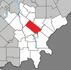 Location within Le Granit RCM. | |
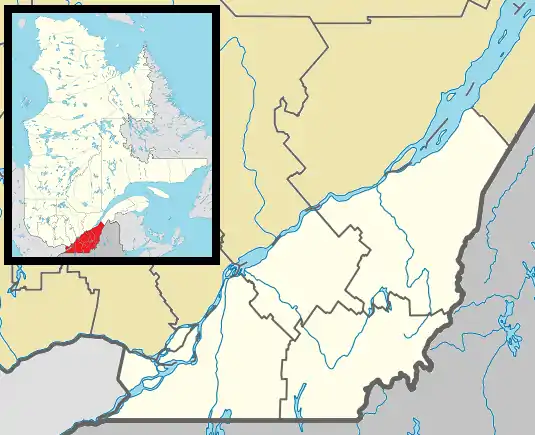 Sainte-Cécile-de-Whitton Location in southern Quebec. | |
| Coordinates: 45°40′N 70°56′W / 45.667°N 70.933°W[1] | |
| Country | |
| Province | |
| Region | Estrie |
| RCM | Le Granit |
| Constituted | September 19, 1889 |
| Government | |
| • Mayor | Diane Turgeon |
| • Federal riding | Mégantic—L'Érable |
| • Prov. riding | Mégantic |
| Area | |
| • Total | 149.40 km2 (57.68 sq mi) |
| • Land | 146.00 km2 (56.37 sq mi) |
| Population | |
| • Total | 892 |
| • Density | 6.1/km2 (16/sq mi) |
| • Pop 2006–2011 | |
| • Dwellings | 438 |
| Time zone | UTC−5 (EST) |
| • Summer (DST) | UTC−4 (EDT) |
| Postal code(s) | |
| Area code | 819 |
| Highways | |
| Website | www.stececile dewhitton.qc.ca |
Sainte-Cécile-de-Whitton is a municipality in Quebec, in the regional county municipality of Le Granit in the administrative region of Estrie. It is named after Saint Cecilia, the patron saint of musicians and Church music.
References
- ↑ "Banque de noms de lieux du Québec: Reference number 56097". toponymie.gouv.qc.ca (in French). Commission de toponymie du Québec.
- 1 2 "Répertoire des municipalités: Geographic code 30050". www.mamh.gouv.qc.ca (in French). Ministère des Affaires municipales et de l'Habitation.
- 1 2 "Sainte-Cécile-de-Whitton (Code 2430050) Census Profile". 2011 census. Government of Canada - Statistics Canada.
External links
 Media related to Sainte-Cécile-de-Whitton at Wikimedia Commons
- Official website
- Répertoire des municipalités du Québec
- Commission de toponymie du Québec
- Affaires municipales et régions – cartes régionales
Places adjacent to Sainte-Cécile-de-Whitton | ||||||||||||||||
|---|---|---|---|---|---|---|---|---|---|---|---|---|---|---|---|---|
| ||||||||||||||||
| Cities | |
|---|---|
| Municipalities | |
| Parishes | |
| Townships | |
| |
This article is issued from Wikipedia. The text is licensed under Creative Commons - Attribution - Sharealike. Additional terms may apply for the media files.