Sankt Koloman | |
|---|---|
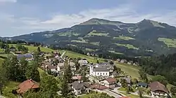 View of Sankt Koloman above Salzach valley | |
 Coat of arms | |
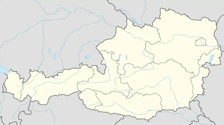 Sankt Koloman Location within Austria | |
| Coordinates: 47°39′00″N 13°11′00″E / 47.65000°N 13.18333°E | |
| Country | Austria |
| State | Salzburg |
| District | Hallein |
| Government | |
| • Mayor | Willi Wallinger (ÖVP) |
| Area | |
| • Total | 55.97 km2 (21.61 sq mi) |
| Elevation | 848 m (2,782 ft) |
| Population (2018-01-01)[2] | |
| • Total | 1,725 |
| • Density | 31/km2 (80/sq mi) |
| Time zone | UTC+1 (CET) |
| • Summer (DST) | UTC+2 (CEST) |
| Postal code | 5423 |
| Area code | 06241 |
| Vehicle registration | HA |
| Website | www.stkoloman.salzburg.at |
Sankt Koloman is a municipality in the Hallein district in the Austrian state of Salzburg.
Geography
Sankt Koloman lies in the Tennengau on the high plateau of the Salzach valley between Bad Vigaun and Kuchl. Sudivisions are Oberlangenberg (previously known as Fürberg ), Taugl, and Tauglboden.
References
- ↑ "Dauersiedlungsraum der Gemeinden Politischen Bezirke und Bundesländer - Gebietsstand 1.1.2018". Statistics Austria. Retrieved 10 March 2019.
- ↑ "Einwohnerzahl 1.1.2018 nach Gemeinden mit Status, Gebietsstand 1.1.2018". Statistics Austria. Retrieved 9 March 2019.
This article is issued from Wikipedia. The text is licensed under Creative Commons - Attribution - Sharealike. Additional terms may apply for the media files.