| Steelpoort River | |
|---|---|
%252C_crop3.jpg.webp) Steelpoort River shown as a tributary of the Olifants on a map of 1887 | |
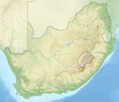 Location of the Steelpoort River's mouth | |
| Native name |
|
| Location | |
| Country | South Africa |
| State | Limpopo Province |
| Physical characteristics | |
| Source | |
| • location | Kwaggaskop, Mpumalanga |
| • elevation | 1,930 m (6,330 ft) |
| Mouth | Olifants River |
• location | Near Kromellenboog, Limpopo Province |
• coordinates | 24°26′35″S 30°26′06″E / 24.44306°S 30.43500°E |
• elevation | 605 m (1,985 ft) |
| Basin size | 7,139 km2 (2,756 sq mi) |
| [1] | |
The Steelpoort River, iNdubazi or Tubatse (Afrikaans: Steelpoortrivier) is a river in Limpopo Province, South Africa. It flows northeastwards and is a right hand tributary of the Olifants River, joining it at the lower end of its basin. Its source is located at Kwaggaskop, a farm between Dullstroom, Stoffberg and Belfast.
The main tributaries of the Steelpoort River are the Klip River, Dwars River, Waterval River and the Spekboom River.[2] The De Hoop Dam on the Steelpoort River will be in operation from late 2014.[3][4]
Some stretches of this river are popular spots for kayaking.[5]
Sekhukhuneland, the historical area of the Pedi people, is located between the Steelpoort River and the Olifants River.[6]
See also
References
- ↑ Olifants and Steelpoort River Basins
- ↑ "Steelpoort River: Hydrology and geohydrology". Archived from the original on 8 August 2014. Retrieved 14 March 2012.
- ↑ Celliers, Heléne (16 February 2014). "De Hoop-dam eers later voltooi". Beeld. Retrieved 18 June 2014.
- ↑ Major rivers and streams within the Limpopo River Basin
- ↑ "The Steelpoort River". Archived from the original on 7 July 2012. Retrieved 14 March 2012.
- ↑ "The Ba Pedi". Archived from the original on 14 March 2012. Retrieved 14 March 2012.
External links
- The Olifants River Basin, South Africa
- Greater Tubatse municipality
- The Olifants River System
- Steelpoort River - News - EngineeringNews
- Hydro-Institutional Mapping in the Steelpoort River Basin, South Africa
- The Olifants River
This article is issued from Wikipedia. The text is licensed under Creative Commons - Attribution - Sharealike. Additional terms may apply for the media files.