| Tomorrica | |
|---|---|
 Tomorr Mountain | |
 | |
| Location | |
| Countries | Albania |
| Physical characteristics | |
| Source | |
| • location | Ostrovicë Mountains |
| • coordinates | 40°34′51″N 20°19′47″E / 40.5808°N 20.3298°E |
| Mouth | Devoll |
• location | near Gramsh |
• coordinates | 40°50′15″N 20°11′24″E / 40.8375°N 20.1900°E |
| Length | 42 km (26 mi) |
| Basin size | 376 km2 (145 sq mi) |
| Basin features | |
| Progression | Devoll→ Seman→ Adriatic Sea |
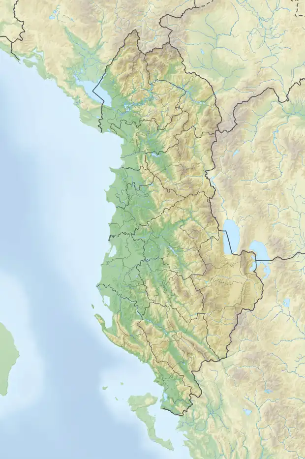
The Tomorrica is a river in southeastern Albania. It is a left tributary of Devoll, which feeds the Adriatic Sea in southeastern Albania. The river, 42 kilometers long, originates in the Ostrovicë Mountains, on the southern slopes of Mount Mieta (Maja e Mietës, 2024 m), at 1800 meters above sea level, near the village Gjogovicë. Its catchment area is 376 km2, collecting the waters of the Tomorr Mountains in the west and the Ostrovicë in the east. Significant left tributaries are only found on the lower reaches of the river: Velica, Leshnica, Kushova and Bregas.[1]
See also
References
- ↑ Myslim Pashaj (2006). Gjeografia ushtarake. Tiranë: Instituti Gjeografik Ushtarak i Shqipërisë.
This article is issued from Wikipedia. The text is licensed under Creative Commons - Attribution - Sharealike. Additional terms may apply for the media files.