Uplengen | |
|---|---|
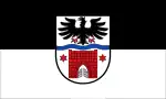 Flag  Coat of arms | |
Location of Uplengen within Leer district 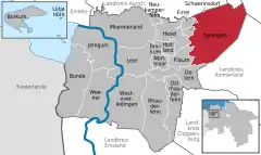 | |
 Uplengen 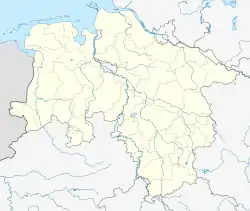 Uplengen | |
| Coordinates: 53°16′N 7°45′E / 53.267°N 7.750°E | |
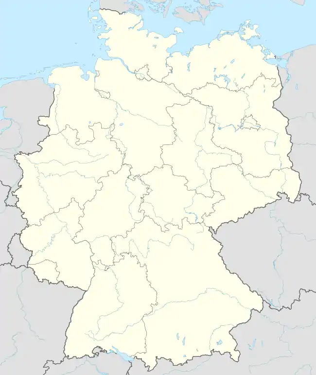
| Country | Germany |
| State | Lower Saxony |
| District | Leer |
| Subdivisions | 19 districts |
| Government | |
| • Mayor (2017–22) | Heinz Trauernicht[1] (CDU) |
| Area | |
| • Total | 149 km2 (58 sq mi) |
| Elevation | 6 m (20 ft) |
| Population (2021-12-31)[2] | |
| • Total | 11,931 |
| • Density | 80/km2 (210/sq mi) |
| Time zone | UTC+01:00 (CET) |
| • Summer (DST) | UTC+02:00 (CEST) |
| Postal codes | 26670 |
| Dialling codes | 0 49 56 / 0 44 89 |
| Vehicle registration | LER |
| Website | www.uplengen.de |
Uplengen is a municipality in the Leer district, in Lower Saxony, Germany.
Parts of the municipality
- Bühren
- Großoldendorf
- Großsander
- Hollen
- Jübberde
- Klein Remels
- Kleinoldendorf
- Kleinsander
- Meinersfehn
- Neudorf
- Neufirrel
- Nordgeorgsfehn
- Oltmannsfehn
- Poghausen
- Remels
- Selverde
- Spols
- Stapel
- Südgeorgsfehn
Gallery
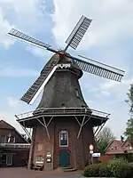 Remels, windmill
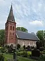 Remels, church
Population
- Lutheranism - 84.29%
- Reformed churches - 1.48%
- Catholic - 2.71%
- Different - 11,52%
Politics
The 27 seats of the local council are distributed as follows:
References
- ↑ "Verzeichnis der direkt gewählten Bürgermeister/-innen und Landräte/Landrätinnen". Landesamt für Statistik Niedersachsen. April 2021.
- ↑ "LSN-Online Regionaldatenbank, Tabelle A100001G: Fortschreibung des Bevölkerungsstandes, Stand 31. Dezember 2021" (in German). Landesamt für Statistik Niedersachsen.
External links
- Official site (in German)
Towns and municipalities in Leer (district) | ||
|---|---|---|
Coat of arms | ||
This article is issued from Wikipedia. The text is licensed under Creative Commons - Attribution - Sharealike. Additional terms may apply for the media files.