Uyuni Municipality | |
|---|---|
Municipality | |
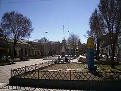 Uyuni | |
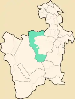 Location within Potosí Department | |
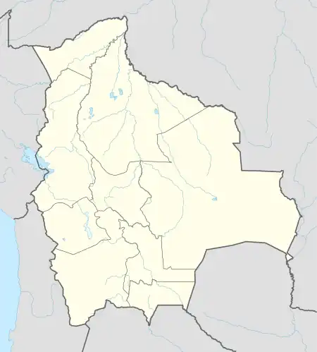 Uyuni Municipality Location within Bolivia | |
| Coordinates: 20°3′S 66°56′W / 20.050°S 66.933°W | |
| Country | |
| Department | Potosí Department |
| Province | Antonio Quijarro Province |
| Seat | Uyuni |
| Elevation | 11,980 ft (3,650 m) |
| Population (2001) | |
| • Total | 18,705 |
| • Ethnicities | Quechua Aymara |
| Time zone | UTC-4 (BOT) |
Uyuni Municipality is the first municipal section of the Antonio Quijarro Province in the Potosí Department in Bolivia. Its seat is Uyuni.
Geography
The municipality lies at the Uyuni salt flat.
Some of the highest mountains of the municipality are listed below:[1]
- Jach'a Punta
- Jalsuri
- Janq'u Qullu
- Kuntur Ikiña
- Pirwani
- Sura Chata
- Warachi Qullu
- Wila Qullu
Subdivision
The municipality consists of the following cantons:
- Chacala
- Coroma
- Huanchaca
- Pulacayo
- Uyuni
The people
The people are predominantly indigenous citizens of Quechua and Aymara descent.[2]
| Ethnic group | % |
|---|---|
| Quechua | 52.9 |
| Aymara | 24.2 |
| Guaraní, Chiquitos, Moxos | 0.2 |
| Not indigenous | 22.6 |
| Other indigenous groups | 0.2 |
References
External links
Capital: Potosí | ||
| Provinces |  | |
| Municipalities (and seats) |
| |
This article is issued from Wikipedia. The text is licensed under Creative Commons - Attribution - Sharealike. Additional terms may apply for the media files.