Waidmannsfeld | |
|---|---|
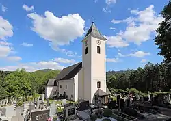 Waidmannsfeld parish church | |
 Coat of arms | |
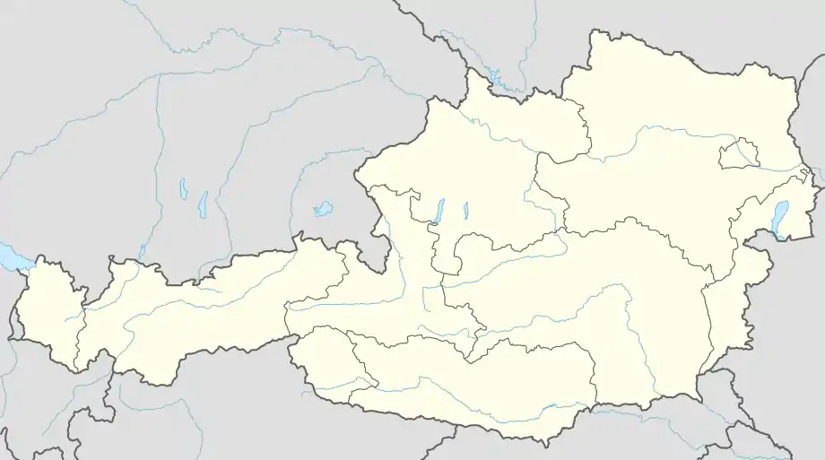 Waidmannsfeld Location within Austria | |
| Coordinates: 47°52′00″N 15°58′00″E / 47.86667°N 15.96667°E | |
| Country | Austria |
| State | Lower Austria |
| District | Wiener Neustadt-Land |
| Government | |
| • Mayor | Andreas Knabel (SPÖ) |
| Area | |
| • Total | 21.39 km2 (8.26 sq mi) |
| Elevation | 495 m (1,624 ft) |
| Population (2018-01-01)[2] | |
| • Total | 1,515 |
| • Density | 71/km2 (180/sq mi) |
| Time zone | UTC+1 (CET) |
| • Summer (DST) | UTC+2 (CEST) |
| Postal code | 2763 |
| Area code | 02632 |
| Vehicle registration | WB |
| Website | www.waidmannsfeld.at |
Waidmannsfeld is a municipality in the Wiener Neustadt-Land District, Lower Austria, Austria. The forested portion of the municipality amounts to 77.9% of its area. Waidmannsfeld consists of the cadastral communities Neusiedl and Waidmannsfeld.
Population
| Year | Pop. | ±% |
|---|---|---|
| 1971 | 1,830 | — |
| 1981 | 1,864 | +1.9% |
| 1991 | 1,735 | −6.9% |
| 2001 | 1,816 | +4.7% |
Economy
In 1999 there were 34 companies with agricultural or forestry related activities. In 2001 there were 51 jobs apart from agriculture, and 790 persons were employed. The activity rate was 45.04% in 2001.
References
- ↑ "Dauersiedlungsraum der Gemeinden Politischen Bezirke und Bundesländer - Gebietsstand 1.1.2018". Statistics Austria. Retrieved 10 March 2019.
- ↑ "Einwohnerzahl 1.1.2018 nach Gemeinden mit Status, Gebietsstand 1.1.2018". Statistics Austria. Retrieved 9 March 2019.
External links
Wikimedia Commons has media related to Waidmannsfeld.

This article is issued from Wikipedia. The text is licensed under Creative Commons - Attribution - Sharealike. Additional terms may apply for the media files.