Wevok, Alaska | |
|---|---|
 Wildflowers on Cape Lisburne | |
 Wevok, Alaska Location within the state of Alaska | |
| Coordinates: 68°52′19″N 166°5′25″W / 68.87194°N 166.09028°W | |
| Country | United States |
| State | Alaska |
| Borough | North Slope |
| Government | |
| • Borough mayor | Harry K. Brower, Jr. |
| • State senator | Donny Olson (D) |
| • State rep. | Dean Westlake (D) |
| Elevation | 56 ft (17 m) |
| Time zone | UTC-9 (Alaska (AKST)) |
| • Summer (DST) | UTC-8 (AKDT) |
Wevok (Iñupiaq: Uivvaq) is a former Iñupiat village in the western part of North Slope Borough in the U.S. state of Alaska.
Its name is derived from the Iñupiat name of Cape Lisburne, which is 5 km (3.1 mi) to the west. Its maximum elevation is 17 m (56 ft).[1]
Demographics
| Census | Pop. | Note | %± |
|---|---|---|---|
| 1880 | 13 | — | |
| U.S. Decennial Census[2] | |||
Wevok appeared once on the 1880 U.S. Census as "Cape Lisburne", an unincorporated Inuit village of 13 residents (all Inuit).[3] The village did not report again on the census.
Climate
| Climate data for Cape Lisburne, Alaska, 1954–1984 normals and extremes | |||||||||||||
|---|---|---|---|---|---|---|---|---|---|---|---|---|---|
| Month | Jan | Feb | Mar | Apr | May | Jun | Jul | Aug | Sep | Oct | Nov | Dec | Year |
| Record high °F (°C) | 41 (5) |
45 (7) |
44 (7) |
46 (8) |
54 (12) |
65 (18) |
73 (23) |
74 (23) |
64 (18) |
57 (14) |
42 (6) |
47 (8) |
74 (23) |
| Mean maximum °F (°C) | 33.0 (0.6) |
23.0 (−5.0) |
26.6 (−3.0) |
33.2 (0.7) |
45.5 (7.5) |
57.7 (14.3) |
65.6 (18.7) |
61.3 (16.3) |
51.7 (10.9) |
40.1 (4.5) |
31.9 (−0.1) |
28.5 (−1.9) |
33.4 (0.8) |
| Mean daily maximum °F (°C) | 4.6 (−15.2) |
−4.2 (−20.1) |
−0.7 (−18.2) |
11.2 (−11.6) |
30.1 (−1.1) |
42.5 (5.8) |
49.8 (9.9) |
48.5 (9.2) |
40.1 (4.5) |
26.1 (−3.3) |
12.7 (−10.7) |
2.6 (−16.3) |
21.9 (−5.6) |
| Daily mean °F (°C) | −1.1 (−18.4) |
−9.3 (−22.9) |
−5.9 (−21.1) |
5.8 (−14.6) |
25.8 (−3.4) |
38.0 (3.3) |
45.2 (7.3) |
44.9 (7.2) |
37.3 (2.9) |
23.0 (−5.0) |
8.8 (−12.9) |
−0.9 (−18.3) |
17.6 (−8.0) |
| Mean daily minimum °F (°C) | −6.8 (−21.6) |
−14.3 (−25.7) |
−11.1 (−23.9) |
0.4 (−17.6) |
21.5 (−5.8) |
33.5 (0.8) |
40.5 (4.7) |
41.3 (5.2) |
34.4 (1.3) |
19.8 (−6.8) |
4.8 (−15.1) |
−6.4 (−21.3) |
13.1 (−10.5) |
| Mean minimum °F (°C) | −29.3 (−34.1) |
−30.3 (−34.6) |
−28.3 (−33.5) |
−15.6 (−26.4) |
7.8 (−13.4) |
26.4 (−3.1) |
32.2 (0.1) |
33.9 (1.1) |
24.5 (−4.2) |
3.8 (−15.7) |
−12.5 (−24.7) |
−23.7 (−30.9) |
−34.3 (−36.8) |
| Record low °F (°C) | −42 (−41) |
−47 (−44) |
−39 (−39) |
−26 (−32) |
−11 (−24) |
20 (−7) |
29 (−2) |
29 (−2) |
15 (−9) |
−14 (−26) |
−23 (−31) |
−40 (−40) |
−47 (−44) |
| Average precipitation inches (mm) | 0.51 (13) |
0.28 (7.1) |
0.26 (6.6) |
0.39 (9.9) |
0.35 (8.9) |
0.63 (16) |
1.96 (50) |
2.74 (70) |
2.01 (51) |
1.11 (28) |
0.77 (20) |
0.33 (8.4) |
11.34 (288.9) |
| Average snowfall inches (cm) | 5.0 (13) |
2.9 (7.4) |
2.9 (7.4) |
3.7 (9.4) |
1.9 (4.8) |
0.6 (1.5) |
0.5 (1.3) |
0.4 (1.0) |
3.4 (8.6) |
9.2 (23) |
7.3 (19) |
3.5 (8.9) |
41.3 (105.3) |
| Source: WRCC[4] | |||||||||||||
References
- ↑ "Wevok, Alaska". Geographic Names Information System. United States Geological Survey, United States Department of the Interior.
- ↑ "U.S. Decennial Census". Census.gov. Retrieved June 6, 2013.
- ↑ "Statistics of the Population of Alaska" (PDF). United States Census Bureau. 1880.
- ↑ "Period of Record Monthly Climate Summary". National Oceanic and Atmospheric Administration. Retrieved March 8, 2023.
Municipalities and communities of North Slope Borough, Alaska, United States | ||
|---|---|---|
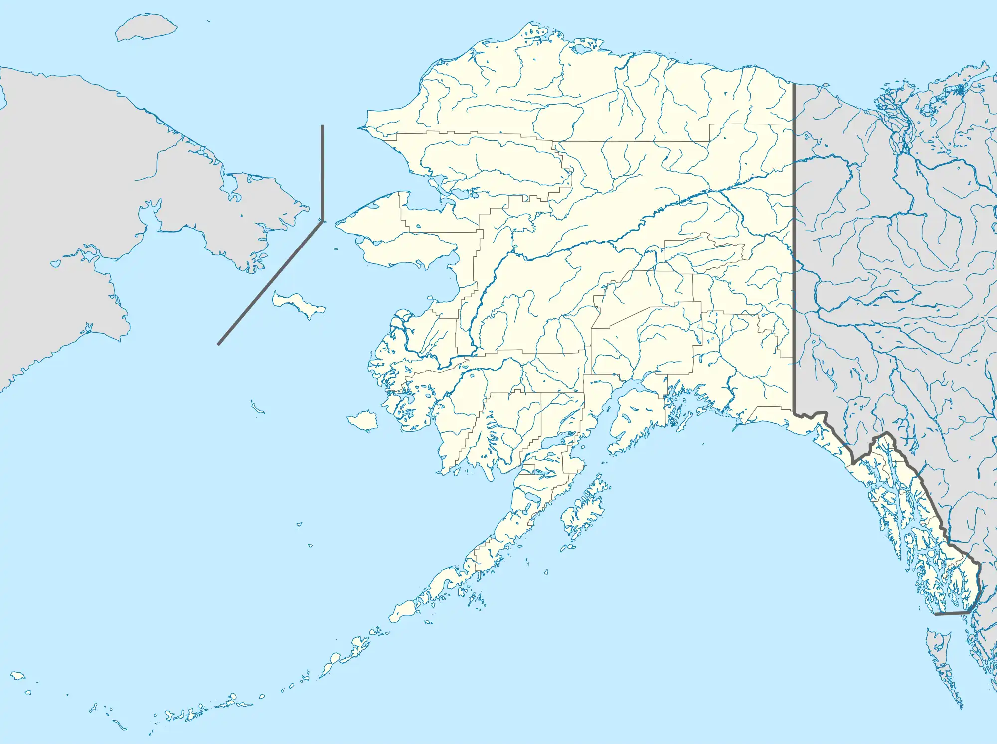
| Cities |  North Slope Borough map | |
| CDPs | ||
| Unincorporated communities | ||
| Ghost towns | ||
This article is issued from Wikipedia. The text is licensed under Creative Commons - Attribution - Sharealike. Additional terms may apply for the media files.