Bovelles | |
|---|---|
_2.jpg.webp) The cemetery chapel in Bovelles | |
Location of Bovelles | |
 Bovelles 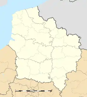 Bovelles | |
| Coordinates: 49°53′00″N 2°08′46″E / 49.8833°N 2.1461°E | |
| Country | France |
| Region | Hauts-de-France |
| Department | Somme |
| Arrondissement | Amiens |
| Canton | Ailly-sur-Somme |
| Intercommunality | Amiens Métropole |
| Government | |
| • Mayor (2020–2026) | Mickaël Grimaux[1] |
| Area 1 | 6.87 km2 (2.65 sq mi) |
| Population | 420 |
| • Density | 61/km2 (160/sq mi) |
| Time zone | UTC+01:00 (CET) |
| • Summer (DST) | UTC+02:00 (CEST) |
| INSEE/Postal code | 80130 /80540 |
| Elevation | 49–122 m (161–400 ft) (avg. 120 m or 390 ft) |
| 1 French Land Register data, which excludes lakes, ponds, glaciers > 1 km2 (0.386 sq mi or 247 acres) and river estuaries. | |
Bovelles (French pronunciation: [bɔvɛl]; Picard: Bovelle) is a commune in the Somme department in Hauts-de-France in northern France.
Geography
Bovelles is situated on the D97 road, some 5 miles (8 km) west of Amiens.
Population
| Year | Pop. | ±% p.a. |
|---|---|---|
| 1968 | 206 | — |
| 1975 | 241 | +2.27% |
| 1982 | 273 | +1.80% |
| 1990 | 336 | +2.63% |
| 1999 | 340 | +0.13% |
| 2007 | 367 | +0.96% |
| 2012 | 401 | +1.79% |
| 2017 | 434 | +1.59% |
| Source: INSEE[3] | ||
History
- 1750 : Construction of the château, the residence of Général de Gribeauval, inventor of a cannon.
- Temporarily chef-lieu of the canton during the French Revolution.

The plaque on the church
- 1870 : Consecration of the new church.
- 1940 : Evacuated during the German occupation
- January 2004 : Bovelles joined the Communauté d'agglomération Amiens Métropole.
See also
References
- ↑ "Répertoire national des élus: les maires". data.gouv.fr, Plateforme ouverte des données publiques françaises (in French). 2 December 2020.
- ↑ "Populations légales 2021". The National Institute of Statistics and Economic Studies. 28 December 2023.
- ↑ Population en historique depuis 1968, INSEE
External links
Wikimedia Commons has media related to Bovelles.
- Official website (in French)
- Marc Roussel personal site (in French)
- Parish website (22 communes), by l'Abbé Jean-Pierre Dalibot (in French)
This article is issued from Wikipedia. The text is licensed under Creative Commons - Attribution - Sharealike. Additional terms may apply for the media files.